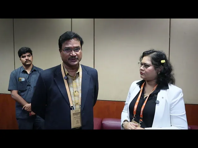
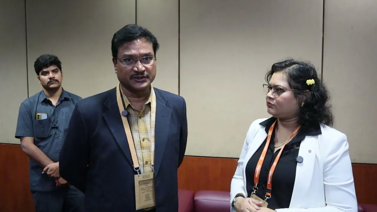
whatever I have to say I've already told from the Das itself right so you want me to this is exclusive video for different segment so welcome to GEOS special world please tell us about uh since Hyderabad is expand one of the expanding cities in India what kind of Technologies are you using for uh Hydra project yeah it's like this see uh we have to uh have lot of spatial data mhm like I mean uh uh see what are the legs I mean for instance water BS we we hyra is in Hyderabad Disaster Response asset production
AG we protect water bodies and we protect uh you know streams Parks you know various green uh uh areas Greener areas and also the roads so like this you know we need to have a database first once we have a database we have to uh bring it on a GS platform and once this is all there uh then you know uh uh now uh monitoring this uh particular assets for instance with uh uh you know drone uh uh you know drone inputs or even from the satellite imagery uh satellite imageries are not regular like I
mean you you you keep tend to fly a drone to know what's happening on the area or you know you need to have lot of C cameras there where is it you know hyad has more than 5 lakh cameras so we tend to get lot of input from the cameras too so all this can be integrated on a GS platform and that will be of immense use to a decision maker uh so that is in respect of the asset protection that is you know protecting the various public Assets in respect of the Disaster Response also
that will be of immense use like you know already we have seen Karnataka has been doing it so rainfall patterns you make an assessment of it what are the areas which are likely to submerge which are likely to inundate and which are the areas which are likely to be water clogged and what could be the alternative routs all this can be brought onto a GS platform and that will act as a you know very useful tool a decision maker so uh a lot of areas are encroached by illegal people and there are slums which are
erupting which are one of the causes of you know uh City flooding and uh rainwater management so what are your steps in that and what geospatial technologies are you using see first we need to uh see that you know the flooding one of the major causes uh absence of streams of the first second or third or the fourth orders the streams are vanished and uh now we have to see that the streams are revived and already there's a project going on in the state of Telangana it's called the sntp project strategic Nala development uh program
so that uh needs to be further taken forward and various agencies which are involved with that they are doing it and Hydra also will ensure that the whatever the streams that are there which can be revived and which have a scope for Revival that also will be uh you know we'll address such issues and similarly water botles lot of lakes have been encroached we have to uh be harsh with the encroaches and anybody trying to get onto the Lakes so that deterence has to be there and that ample deterence has been created by hyra in
the last few months and uh now you find people to be you know very very careful in buying a property in a FTL or in a buffer zone so that itself has you know created a lot of awareness about uh the very purchase of a property uh in water bodies and uh this has led to you know the reduction of the encroachments too because you know now when the when there's no buyer there naturally uh a businessman would not tend to encroach onto the lake so apart from that you know there are uh uh you
know various other these things also like you know desilting of a lake and all these things also has to happen U we have to map all these things and we have on the process first we are trying to enumerate the Lakes itself what are the number of lakes in Hyderabad and in around Hyderabad once enumeration is done what is the extent of area available that also has to be brought onto the you know GS platform and once it is there the streams Revival which are the streams that have been totally uh you know disappeared so
all this as a you know as a holistically we have to uh look at this and uh through a GS platform we can be uh definitely working out a you know better solution to that so my last question is what is the relevance of uh conferences like geosmart India uh when it comes to uh encouraging the projects like Hydra yeah this is very useful because you know this is where you tend to connect to various people uh learn learn various Technologies understand assimilate them and probably put them to use also so this is a platform
to you know meet and understand uh and uh uh you know uh probably uh learn Technologies you know this will be this sort of platforms will be very very useful actually lovely thank you so much for thank you