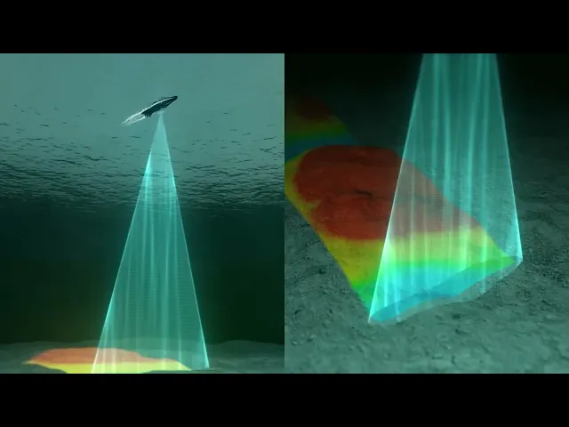
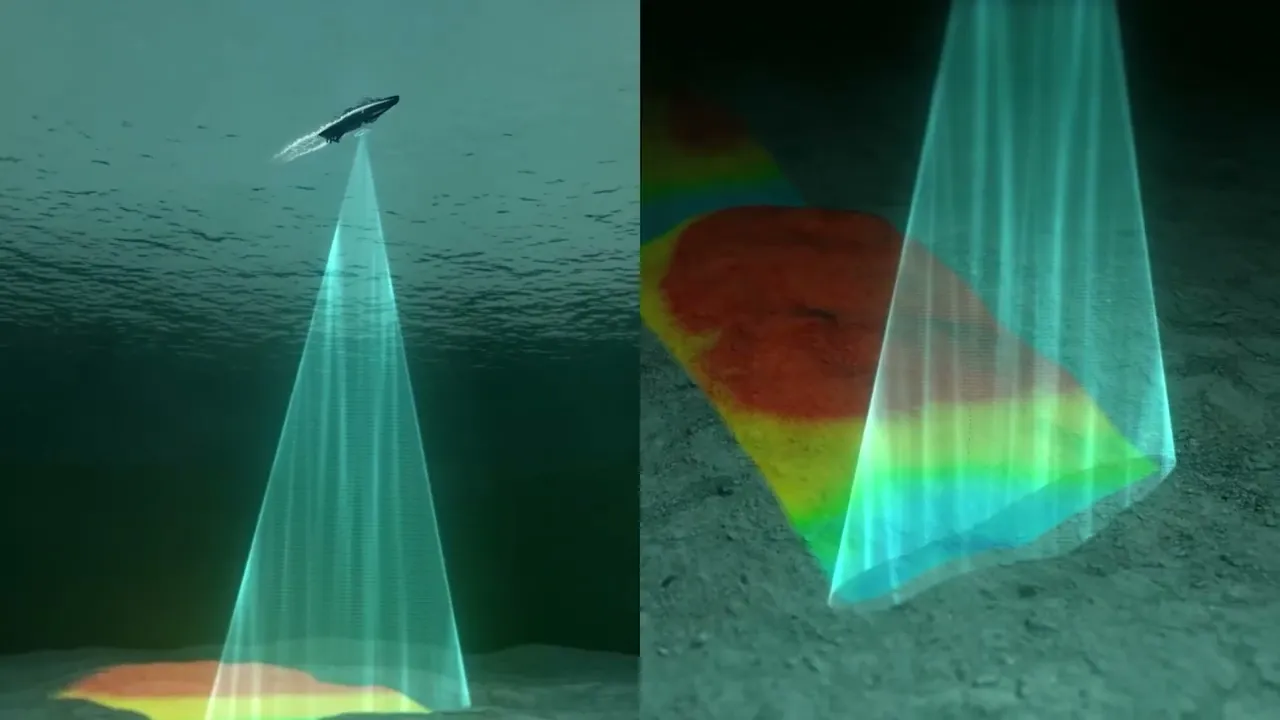
[Music] in recent years there has been a notable surge in acknowledging the pivotal connection between hydr spatial infrastructure and the blue economy marking it as a Cornerstone for sustainable development hydr spatial infrastructure an encompassing term for marine spatial planning data acquisition systems and navigation Technologies has emerged as the backbone for effectively managing Marine Resources and mitigating environmental risks the integration of satellite imagery remote sensing and GIS has led to a paradigm shift in Marine data collection processing and Analysis yielding unprecedented insights according to recent studies this integration has increased data accuracy by up to 80%
% and reduced data collection costs by 30% providing policy makers researchers and Industry stakeholders with invaluable information on Coastal ecosystems Marine habitats and ocean Dynamics this symbiosis between hydros spatial infrastructure and Advanced geospatial Technologies is Paramount in propelling the blue economy enabling the efficient utilization of coastal areas and supporting Industries such as aquaculture renewable energy and marine conservation by fostering this Synergy economic growth in the blue economy sector has seen a notable upsurge of 6% annually concurrently safeguarding marine ecosystems for future Generations