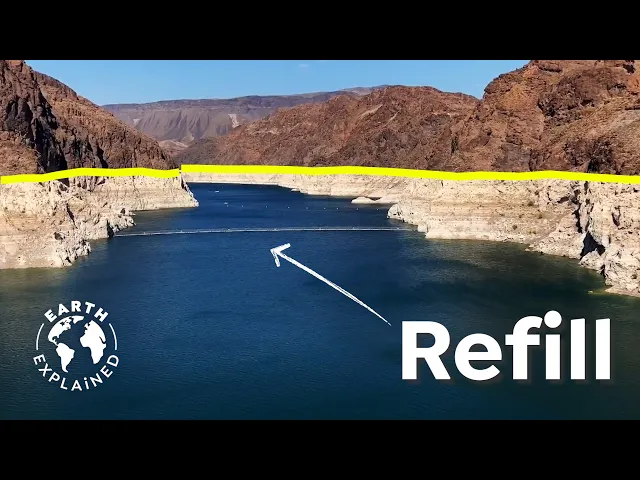
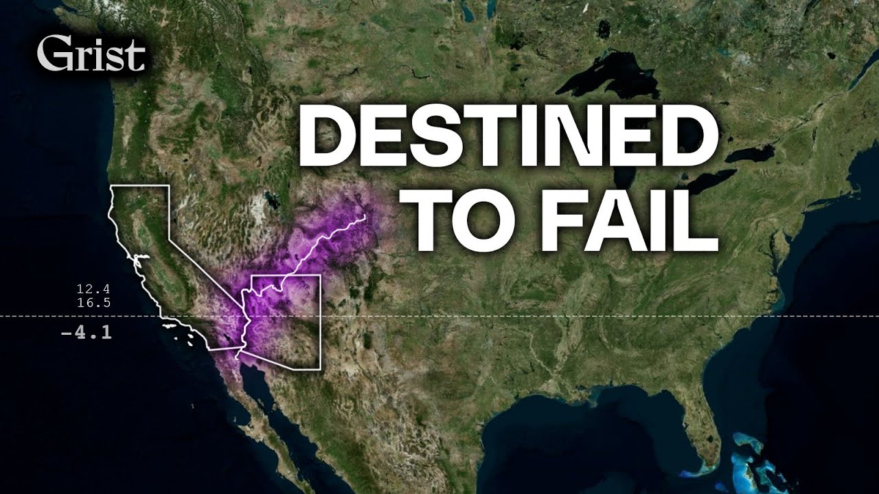
Scrolling through your social media platform of choice, you might have stumbled over these images. Lake Mead or Lake Powell. Slowly disappearing has been all over the place recently.
And yes, the satellite footage is not only frightening, but also easy to share. Perfectly fitting into the doom scroll media. But in order to understand what is really happening, I realize that you have to look at the big picture.
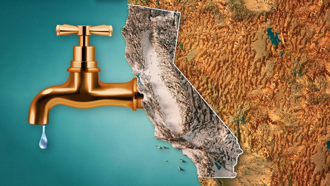
These artificial lakes are, in fact, part of the entire system of the Colorado River, the lifeline to the American southwest. A region that is notoriously dry and without it, the rise and success of the Western states and its metropolitan area, such as L. A.
and Las Vegas, would never have been possible. The way to understand the water crisis in the USA today is a journey across 2000 kilometers of river, seven states, two countries and insights I would have never expected. Hey, just a very quick reminder that so many of you still not subscribed.
So if you do like our content, please click on that red button below. That helps us so much. Thank you.
Now back to the video. Our journey starts here in the Sea of Cortez. It is considered to be one of the most diverse seas on planet earth.
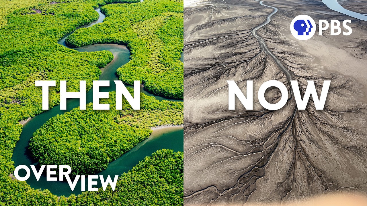
Which is why the famous diver, Jacques Cousteau, once called it the aquarium of the planet. The ecosystem there's famous to be a rich and full of life. What’s less known is the fact that at its northern tip the emblamatic Colorado River once emptied out into the sea, forming a delta system of wetlands and a once thriving marine ecosystem.
Today, there's only a trickle left of a mighty river, that has its source 2300 kilometers upstream. And the unique ecosystem there is so badly damaged that it might never fully recover. So what happened in the last two decades from former wetland to dried out delta time?
What has gone wrong? Well, this can’t be narrowed down to just droughts in Baja and U. S.
American California. The problem has its origins already all the way up in Colorado at the beginning of the river and intensifies over its course. But bear with me, once you understand the issues, you realize that this indeed can be solved.
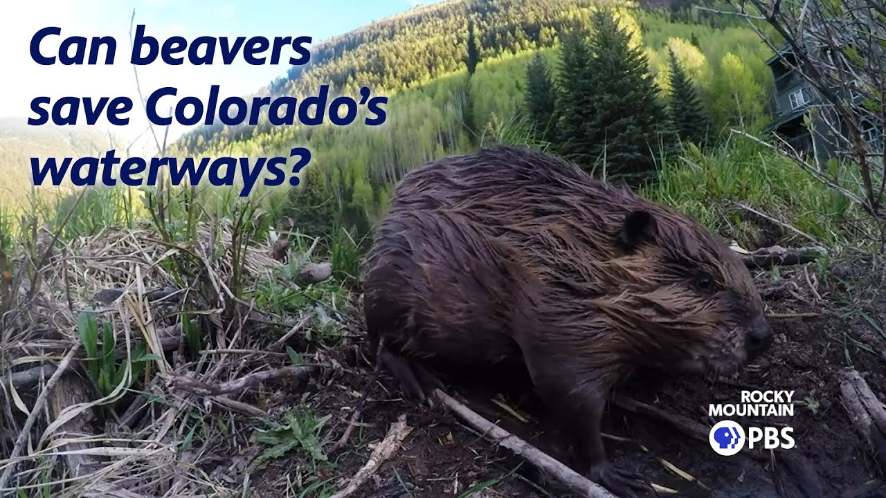
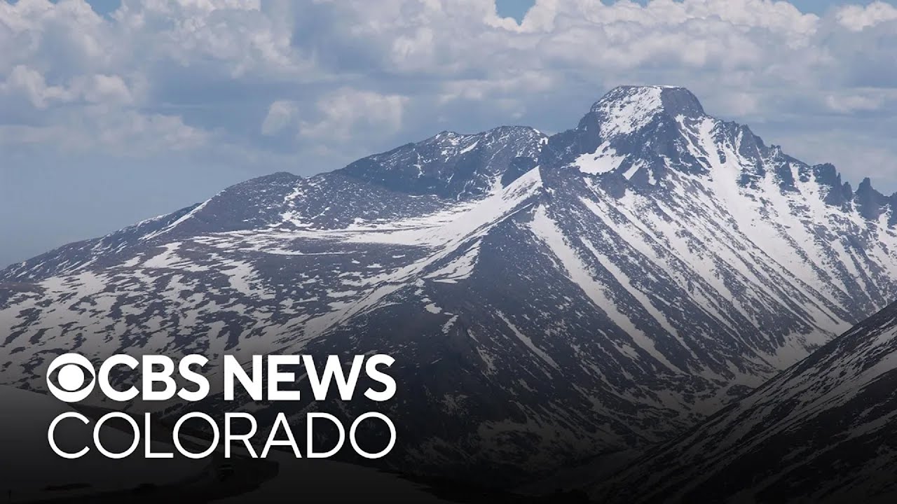
So this is where the Colorado River originates. Its source lies in the heights of the Rocky Mountains National Park. Here, the massive snowpacks feed the river in spring.
And at first glance, wild forests, creeks with crystal clear waters and its banks flanked by colorful wildflowers. One might think that the region's least problem is water. But also here, temperatures rise and so does evaporation, meaning that the water escapes into the air before running off into the rivers, creeks and ultimately the Colorado.
But climate is not the only reason for a diminishing river. The river's water use is basically managed by a first come, first serve principle. It starts here.
30% of the mountain's runoff, which would naturally flow into the river, is diverted by a channel and delivered to Colorado's fast growing east, predominantly Denver. The metropolitan area gets half of its water from the Colorado's tributaries. The good news: This year, the city took less water than it was entitled to, mainly because of an unusually wet spring.
The bad ones. The city's authorities already warned that with its current pace of population growth, they will lose their flexibility to do so. So already here at the headwaters of the Colorado, you can get the sense that the problems around the river are political.
It's an “us versus them” - tug war. A who gets the right to use how much? And this becomes clearer if we zoom out and have a look at the big picture, the further downstream you go, the more of a whirlwind of competing interests the river becomes.
Explosive growth generates thirst, in and around the urban areas, including thirsty green suburb lawns or golf courses in the middle of the desert. Farmers, on the other hand, require more water to produce the same yield on drought stricken land. So the real square of the circle is, that there's an increased need for water and irrigation, when we are in a period - and hopefully only a period - of reduced supply.
The math simply doesn't add up. And looming overall are the fears of a so called “compact call”. See, the Colorado River is managed by a convict of 1922, which separates between the upper basin states and the lower basin states.
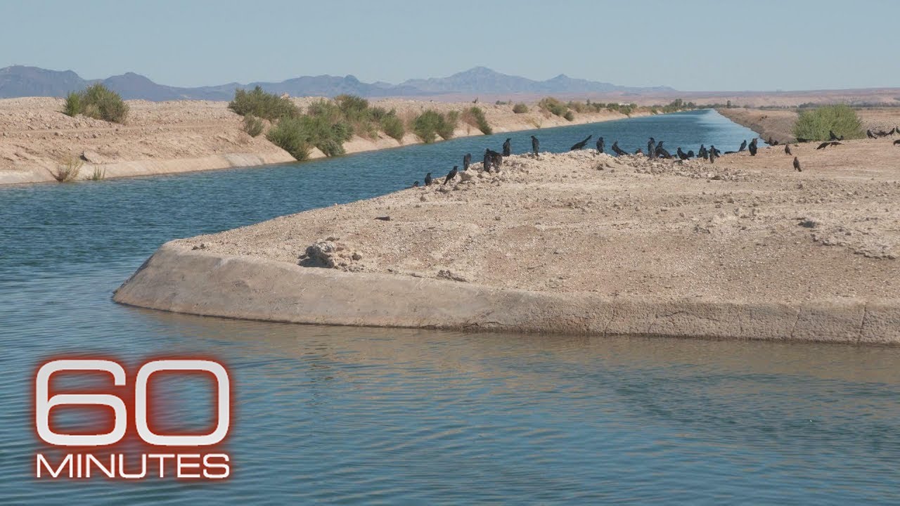
In it, most of its water rights are managed and in a worst case scenario, the Upper Basin states can be forced to send a certain amount of water. In other words, if flows drop too low, California could impose water limits to Colorado while not scaling down their own needs. As you can imagine, this creates a lot of tension between the Colorado River states, mostly because the highly developed metropolitan areas like Las Vegas or Los Angeles, lie all in the lower basin, condign them to be wasteful with the precious gift stemming from the headquarters.
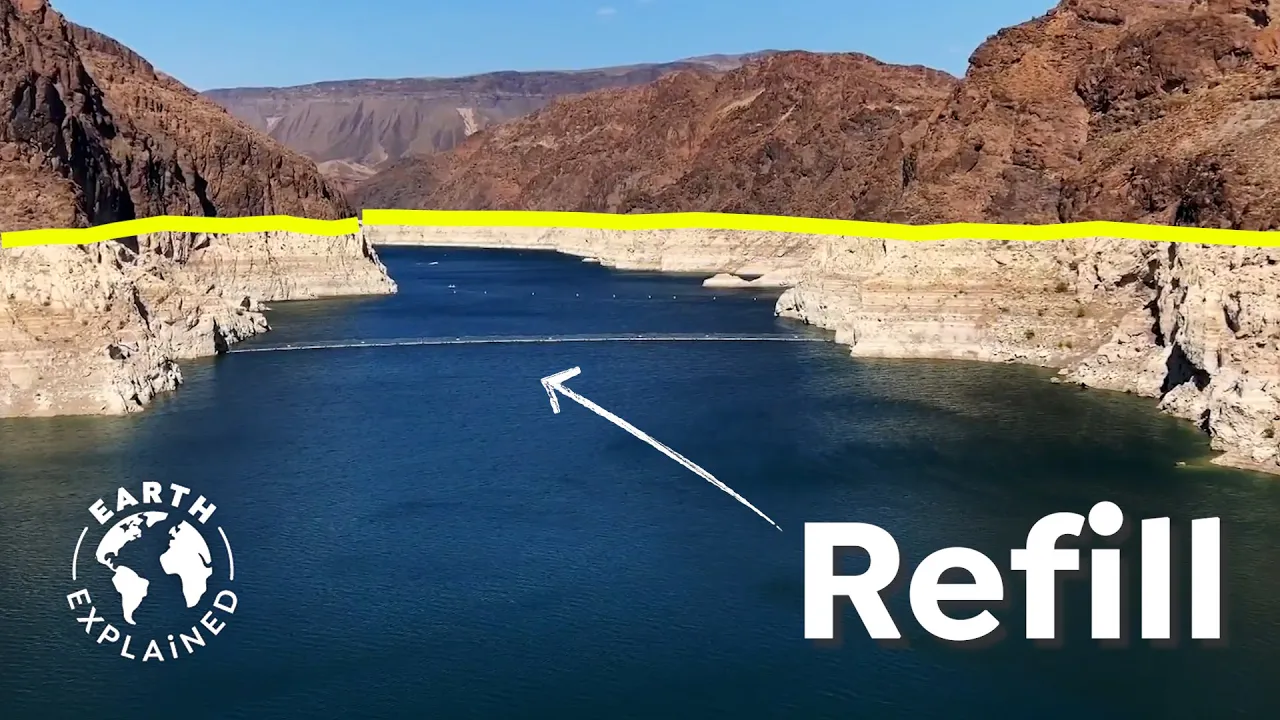
A really important side note is that this is not only a water but also an energy crisis. Both, Lake Powell and Lake Mead, are connected to massive dams that produce power for millions of people in the West. At maximum capacity, Lake Mead has a surface elevation of 375 meters above sea level.
Should the water levels drop below the minimum power pool of around 270 meters, they'll simply have to turn the power off. And these issues are definitely being addressed by local authorities. Las Vegas, for example, the city that gets 90% of its water from the Colorado River, imposed strict laws to cut down water usage.
Quite successfully so: its per capita use has fallen 48% over the last decade. But these are barely methods to mitigate the symptoms and not the problem. In fact, there is a textbook case that could serve as a perfect example.
The Yakima River system up north in Washington state is one of the most productive agricultural regions in the USA. But even there, water levels dwindled and water allocations to many farms were cut. Additionally, conservationists were concerned that habitats were drying up with the old dams built to store water, blocking the passage of fish, eliminating the trout and salmon that the indigenous Yakama Nation had fish for centuries.
So the water managers of the Yakima Basin tried a different approach. Instead of blaming counterparts, wasting time at quarrels in courtrooms, they developed the plan, including all stakeholders like farmers, municipalities or the local indigenous population, to manage the Yakima River and its tributaries for the next 30 years to ensure a stable supply of water, even in the face of potentially more droughts. And in fact, now, a decade into the plan, there are tens of millions of dollars worth of projects along the river designed to achieve those goals, including canal lining and other improvements in irrigation efficiency, increasing the reservoir storage and removing barriers for fish.
Experts now call it the best of a collaborative, science based project successfully bringing science and stakeholders to the table. So the thing is, if we want a healthy Colorado River that everybody can benefit off and even brings back the water through the states all the way down to the wetlands of Mexico, we have to bring the interests together. Even if the circumstances aren't the same, experts use the Yakima Plan as a model for a cooperative effort that needs to happen to the Colorado River right now!
An overall plan, that considers the big picture established by and made for all stakeholders. With a clear and transparent guideline and ensures long term water supply for all. Yes, the scale is much larger.
40 million people rely to varying degrees on the Colorado supply. Seven states plus Mexico. 30 native tribes have rights to the Colorado water.
But as I mentioned before, I think we can all agree that everybody wants water from a clean and healthy river. So let's try the Yakima way. There's no way around it.
In the meanwhile, please do leave a comment below. Stay tuned and help us grow. See you next time.