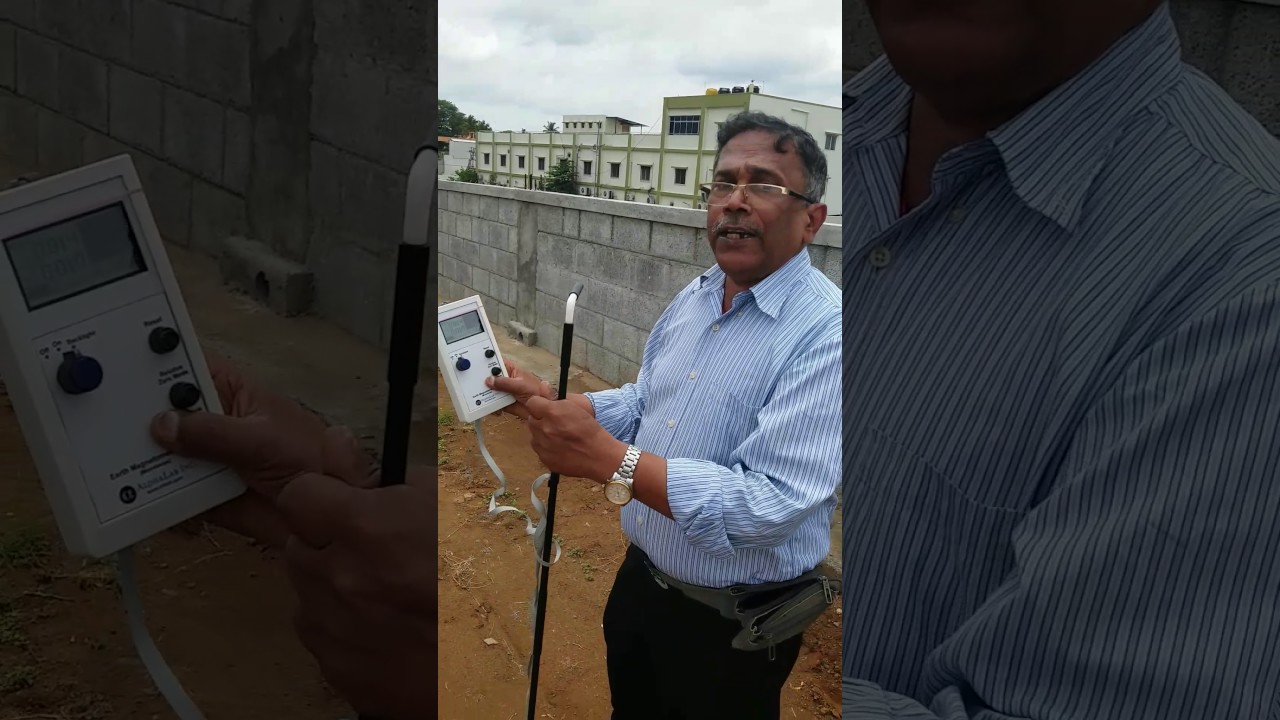
Huna Poochie geologic exploration equipment Institute is a professional organization which researches geological exploration equipment mainly engaged in researching manufacturing selling and service of geophysical prospecting water detector cavity detector mine locator dem piping leak detector pipeline leakage detector pressure pipeline leakage automatic analyzer er borehole inspection camera our Institute devotes itself to the research and development by century of the concept of developing with Science and Technology strengthening with talons in 2017 our our Institute launched a new pqw TS series of mapping with one-button geophysical water detector the whole series of products have passed iso 9001:2008 quality management
system certification this series of instruments have applied to the country for various patents for inventions utility model and appearance working principle of PQ WT s series of mapping with one button geophysical water detector it is a method of electrical prospecting with natural electric field as working field soars based on the resistivity difference of underground rock mineral and underground water the electric field components of the natural electric field with n different frequencies are measured on the ground and the abnormal changes of different geological bodies are studied according to their change rows so as to solve geological
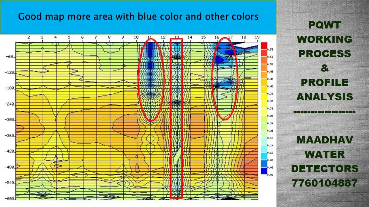
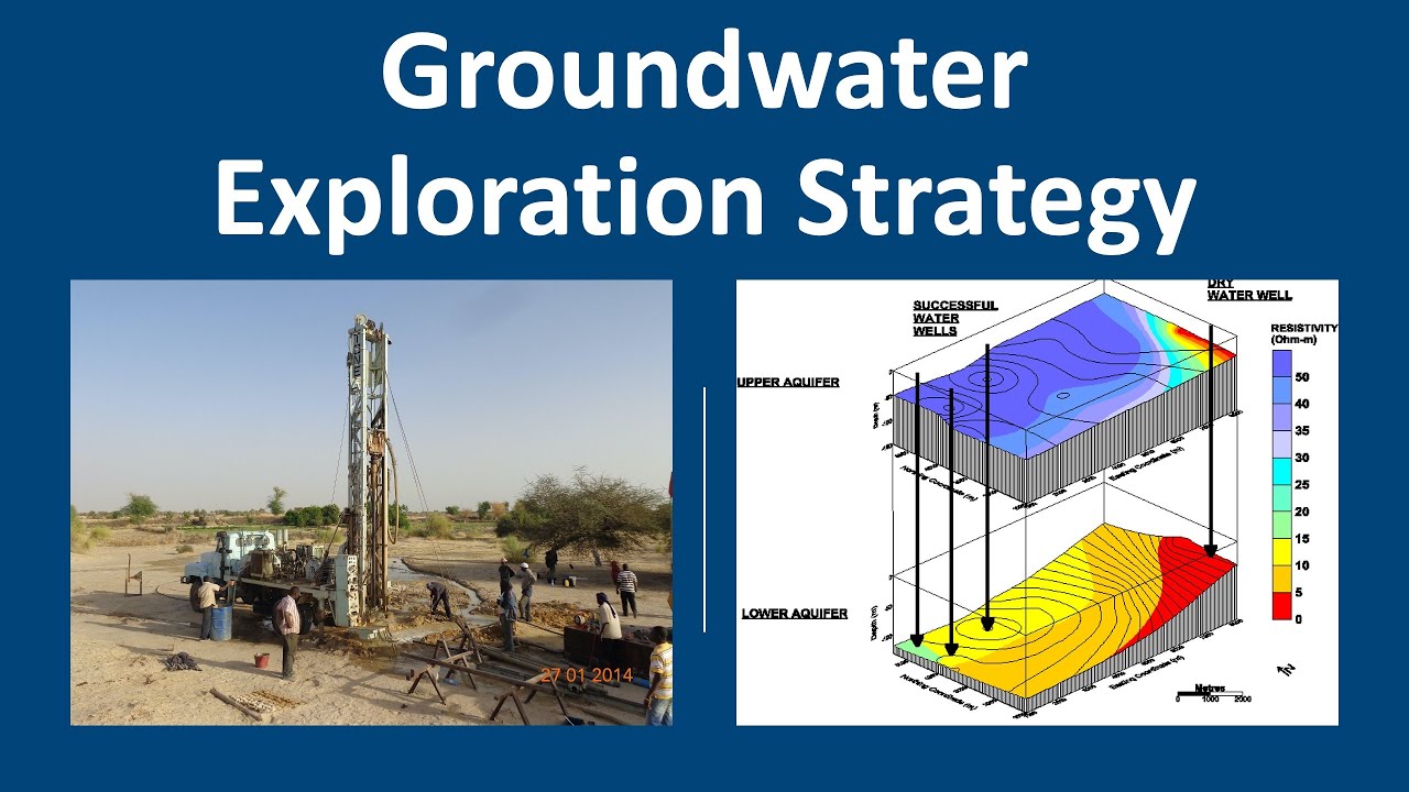
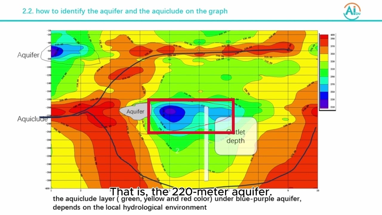
problems the data collected by the instrument can automatically present curved chart and profile map through unique built e computing function according to geological section the geological layer structure is clearly understood add a specific information of aquifers fractures Falls and karst caves can be quickly determined the instrument is widely used in rapidly finding and evaluating different types of underground water determining well location aquifer and depth of each layer in cities mountain areas and plays at home and abroad pqw TS series underground water detector instruments have the following characteristics small size lightweight automatic and noise reduction has
strong anti interference measuring line these only ten meters one to two persons can complete the operation there's a built-in PQ WT geological exploration software system researched and developed by our Institute independently the instrument automatically draws curves and profiles which realizes fully intelligent Auto mapping and with one button you can choose the corresponding depth of measurement according to the actual measurement requirements curves and profiles can be directly exported into a mobile phone or computer for storage with faster measurement speed a large area of profile measurement can be completed every day I will show you the workflow
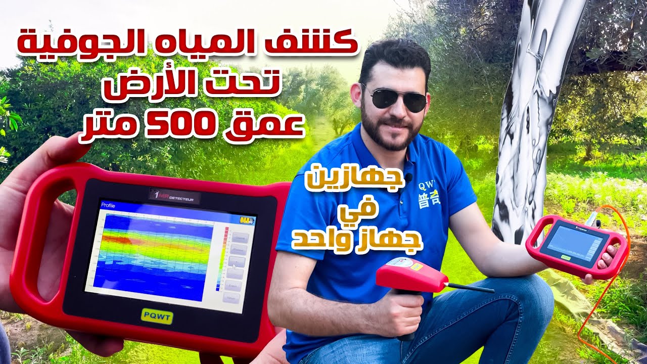
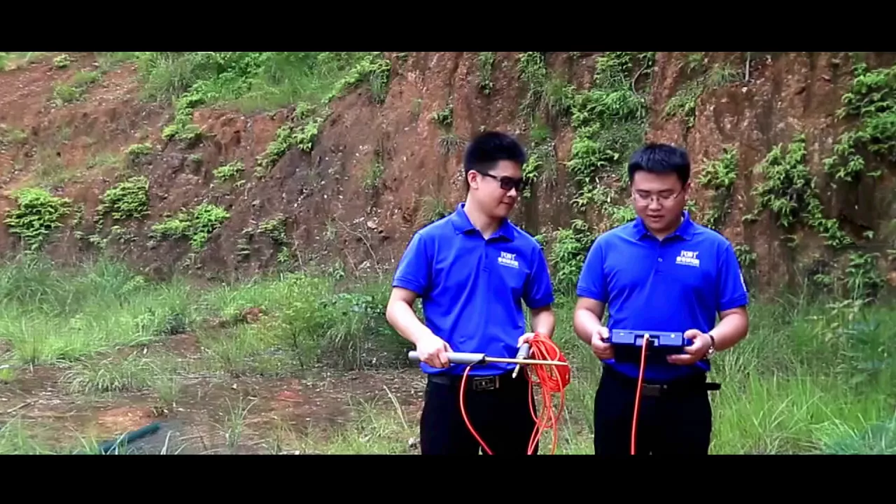
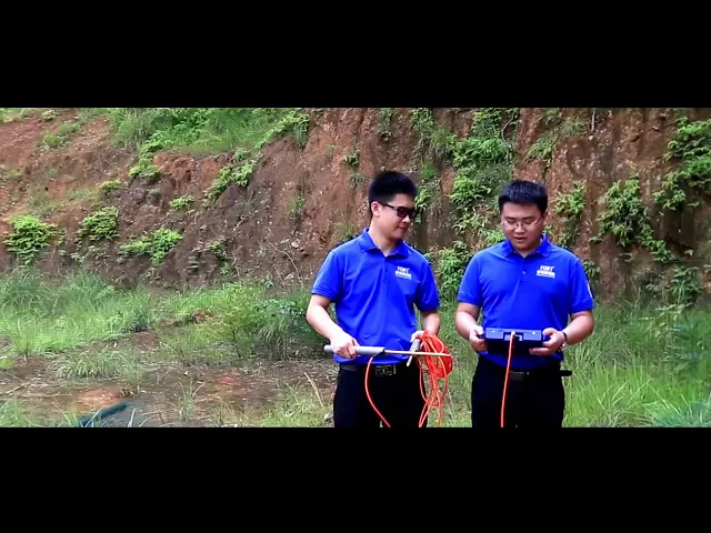
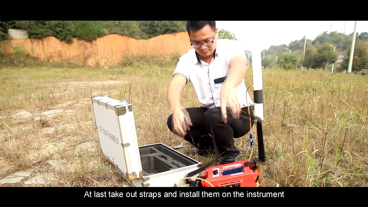
and ways of outdoor operation of PQ WT s 500 fully intelligent mapping with one button water detector the maximum exploration depth of this model is 500 meters before measuring let's learn the whole parts of this instrument host machine special cable a low E electrode charger the first step for measuring Y ring select a tape of 50 meters and a pulley open along the straight line at the location needed to be explored mark out a starting point [Music] the geophysical wiring is generally presented vertical structure and that shaved vertical crossing wiring and open areas the second
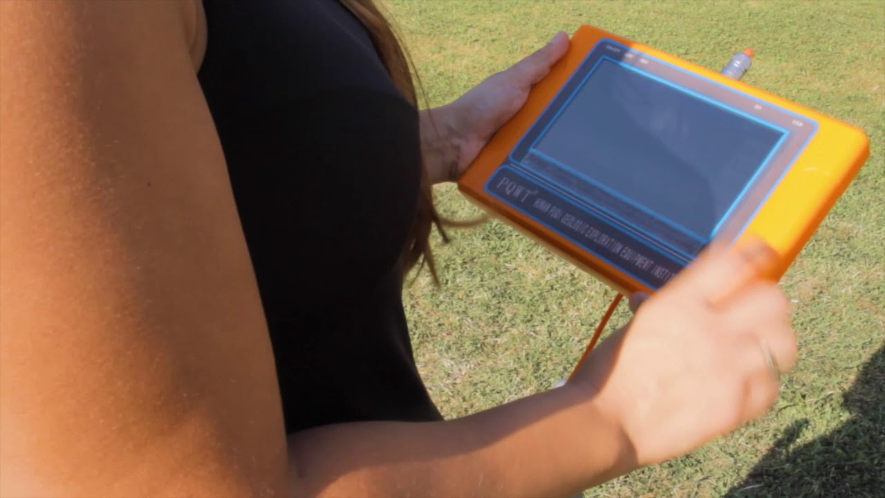
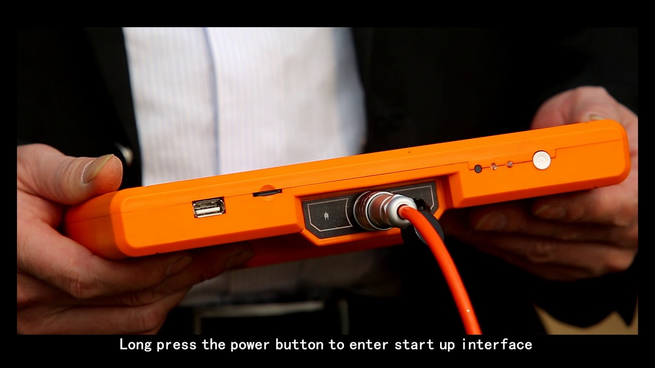
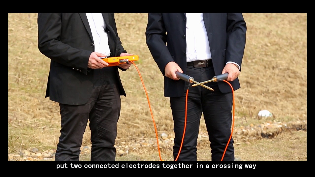
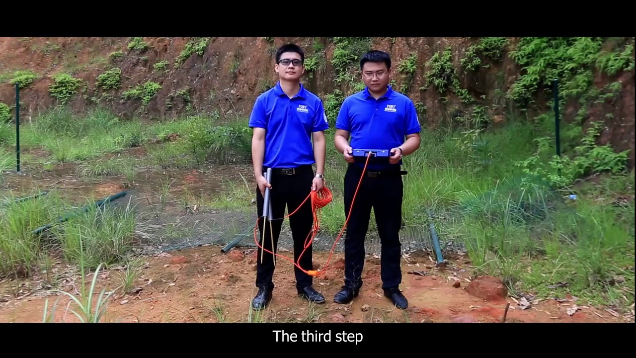
stab long pressed our button to enter start interface six options are displayed respectively single frequency three frequency profile survey File Explorer settings and services today we adopt a profile survey measurement method Troost profile survey to enter measurement interface click options true staff you have three options of 150 meters 300 meters and 500 meters according to measurement requirements which use bathroom in line as number zero zero one with a depth of 300 M for exploration the third step cross and put the two connected electrodes together before sampling and then click line test on the instrument when
the green test light of the instrument is on it indicates that line is normal next we use 10 meter electrode equidistance for measurement insert one electrode near the host into the tape possession of zero meter answer the other electrode into the tape position of 10 meter click record back man for measurement of the first appointment when the data acquisition is completed the instrument display were notify record completed accompanied with a voice prompt then the first appoint is completed for acquisition please attention that each measurement point is in the middle of the two electrodes so the
first measurement point is in the position of 5 meter next move the two electrodes forward simultaneously at a distance of 1 meter click record button for data acquisition of the second point when the acquisition is completed the instrument display will notify record completed the second measurement point is in the position of 6 meter and so on repeat the above operation for measurement [Music] when a lie measurement is finished the screen automatically displays the curve chart click profile the instrument automatically draws profile Maps you can click plus or minus to adjust a map as needed if
you need to measure the next align you can adjust the line as number to measure test above steps attention the electrode rod cannot be shaken or the copper electrode cannot touch metal matters while recording it is suggested that one line should be measured more than 15 points instruments are strictly prohibited to use inbounder storm days wiring needs to avoid the areas with high voltage line and great ground drop in order to better using the instrument and improving the well completion rate users can send pictures to our geophysical water detecting exchange platform the removal foam is
an online communicate with our specialists in hydrogeology Hunan poochy geologic exploration equipment Institute looking forward to cooperating with you to create a glorious future consultant puff line double zero eight six seven thirty-one a double to three seven double one two or double zero a six one three five four eight nine seven zero double nine nine mr. Frank

![I went through the secret passage to the treasure room❌ [Great Discovery]](https://img.youtube.com/vi/0kBy1Y4juHc/maxresdefault.jpg)