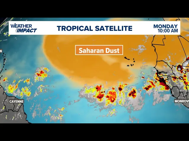
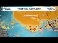
hi every I'm meteorologist Pat cin here with an updated look at the tropics and why things have turned quiet so suddenly as we take a look out towards the gulf the Caribbean the Atlantic everything is quiet in fact we're not expecting any form of development over the next seven days you can see there's really nothing going on over the Atlantic Basin right now we're almost Cloud free the reason for that is a phenomena that we see every single year around this time and that is Saharan dust and there's a very large large plume of it
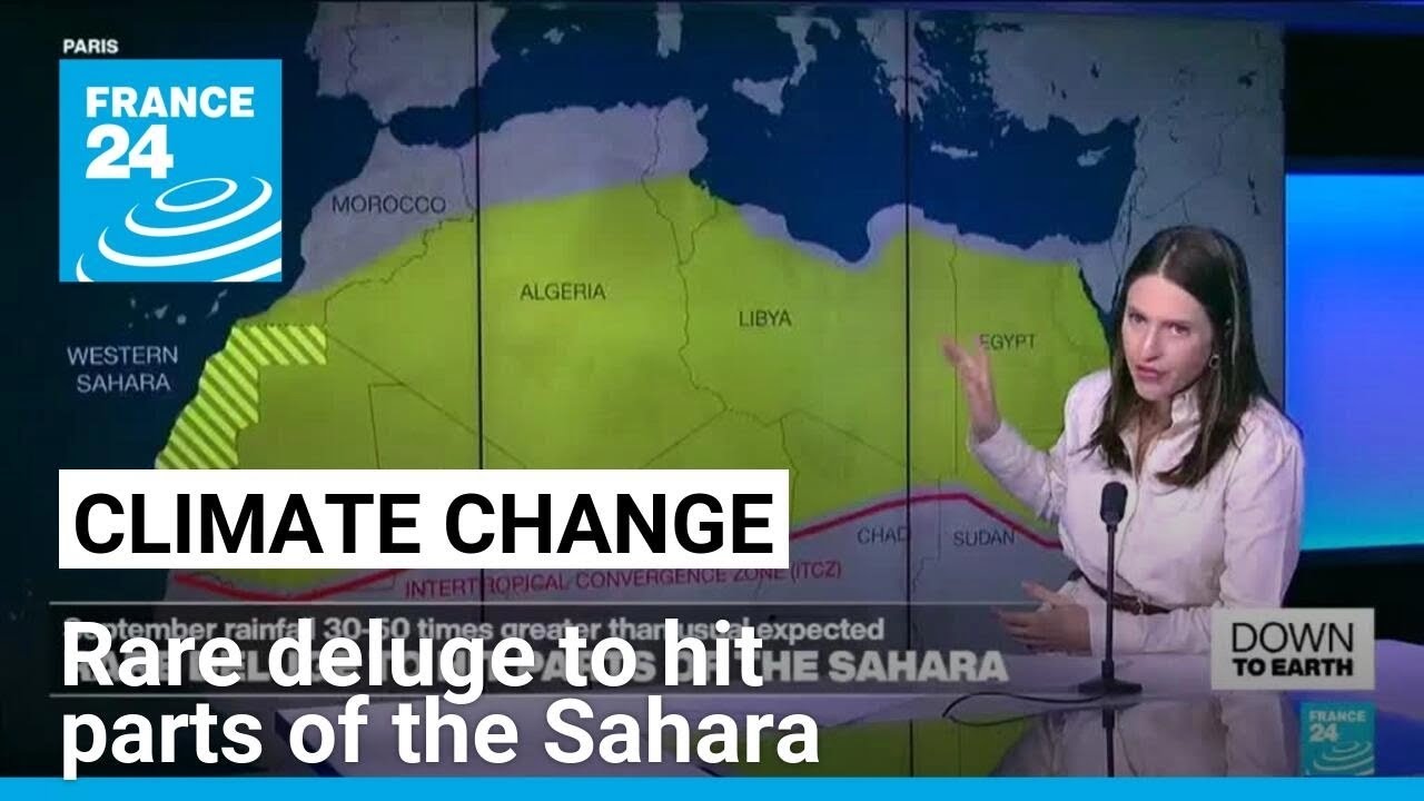
right now coming off the west coast of Africa and as long as that dust is in place it usually keeps things very quiet in the Atlantic so let's talk about where that dust comes from here's the Sahara Desert the light tan area towards the top of the screen just beneath it is is an area known as the Sahel it's a semi arid area which sees a monsoonal season and during that you get storms that develop across the Sahel and they move north and what happens is as they start to uh out they release outflow or
a rush of air and when that Rush of air interacts with the dusty sand of the Sahara Desert it gets lofted into the air and then carried to the west by the trade winds and we're talking thousands of miles across the Atlantic and you could see this is the forecast over the next few days all of that orange color on the map indicates that Saharan dust traveling from the west coast of Africa across towards the Caribbean and even towards uh the east coast of the the United States so what does this dust do to the
tropics well in a normal environment uh the ingredients that you need for tropical development of course our warm water temperatures above 80° and also a really saturated moist atmosphere when you get that dust in the air think about it you know dust is typically dry so that takes the moisture out of the atmosphere which stunts any type of cloud growth and also if the dust concentrations are high enough can block out enough sunlight that it'll actually drop the water temperatures now I don't think we're going to see water temperatures dropping below 80° but it could
take us off of the record high values that we've been seeing over the past few weeks so there's your forecast over the next 5 to 6 days across the Atlantic one big plume moving into the Caribbean and then as we look ahead towards the start of next week another big plume comes off the west coast of Africa all of this kind of pointing towards a quiet period in the Atlantic for now again this is very typical during late June through the month of July and It All Leads up to of course the most active part
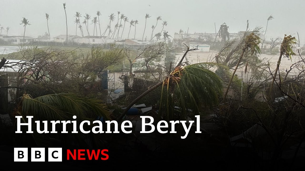
of the Season which is mid August going through October so this is not a time to let your guard down but rather a time to kind of regroup after barrel and to make sure that your hurricane plans are in place