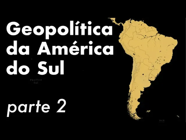
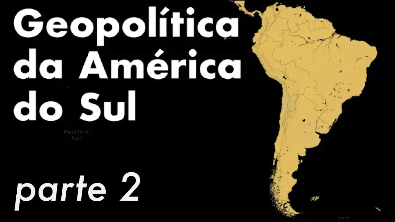
Hello everyone, today's video is the second part of the South American geopolitics class. In the last class, I explained a little about the general issues and talked about the countries in another area of the Caribbean. In this class, I want to talk about what we call the Guiana Shield, the Guiana Plateau, and it encompasses the Guianas, Suriname, and part of Brazil.
I want to talk about Andean America and the great strategic geopolitical division of all these pieces that I'm showing you here. What's left out yet is not going to go into Brazil or the region that we call the Southern Cone. A lot of content will be very long.
The video will not be able to understand well, so you have separate videos specifically just about these other topics. Hello, starting then with the Guiana Shield, the Guiana Plateau. Remember that I told you about two large basins?
In fact, there are three in South America, but two of them are connected with this dark one. Here on the map, we can see the entrance to the first one, which is the Amazon Basin, and here is the Orinoco Basin. So, all this territory here in the middle and between these two basins is what we call the shield.
The Guiana region is very interesting and important for understanding this area north of South America. It's a place few people pay attention to, but several distinctions or unique issues arise in this region. The first is that it was from there that we don't have South America as a totally Iberian continent because you have the colonization of other countries, England, Holland, and France dominating these territories with the three, or with Guyana and Suriname, and French Guiana.
I'll go into detail about each of them. This region here has a mountainous relief. It's no coincidence that the highest peak in Brazil is located there, Pico da Nevo.
All the countries in this region are isolated, not only among themselves, but also have a common history. Being located in the same space. They are isolated from the rest of South America.
This is due to the same situation we saw with Venezuela and Colombia. Because we have a shield or the protection of the Amazon rainforest barrier, they are also oriented outwards towards the Caribbean. They are not located or do not have access to the Caribbean Sea.
They are there in the Atlantic, in the northernmost part of the South Atlantic. They are oriented there because they do not If they manage to be connected with the rest of South America, all the rivers that leave these countries do not access the Amazon basin, and this explains to me why Portugal also never worried much about the presence of other countries colonizing this region, since it knew it would not be able to penetrate Brazilian territory. So these three countries, mainly Guiana, Suriname , and French Guiana, were isolated not only from the rest of South America, but also from each other for a long time.
I don't have any connections between them and difficult access. Most of the population is concentrated in the cities on the coast because there are no large rivers that run inland and that connect. Not to mention the issue of mountains mixed with the forest, difficult access, difficult penetration.
The entire history of the region, with the Treaty of Tordesillas, divided this space between the Amazon and Orinoco basins for the Spanish, but the Spanish did not pay much attention because they did not find it as profitable as the areas further north with Mexico and other countries in other European countries such as the English, French, and Dutch, took advantage of it to occupy a presence in the region, and the Spanish ended up ceding their rights to and the countries that ended up having their own states, these territories were so small, in fact, we could analyze them as part of another South America that was not Iberian and had no communication with the rest of it. It had this projection, its orientation towards the Caribbean Sea. Even though it was not there and with direct access to the Caribbean Sea, this entire region is called the Guianas, right?
The Guiana Plateau, but not all countries are called Guianas, and not all areas of other countries are called Guianas. However, in the past, that was how they were recognized. Perhaps many do not know, but we have Venezuelan Guiana, which was previously known as Spanish Guiana.
We have British Guiana, which later became 1966 gained its independence And today we have Dutch Guiana that gained its independence in 1975 becoming Suriname. It is worth remembering that the Dutch were in Pernambuco were expelled and ended up finding this other territory or occupying this other region of Suriname and 75 gained independence we have French Guiana that was an overseas territory, that is, a part of France. It is not a colony, it was a piece of France placed in South America, so the border with French Guiana is the border with France.
The French also ended up going there after being expelled from Maranhão in 1612 and then occupied their territory in this other region. So to this day we also have Portuguese Guiana that was called that from 1809 to 1817 which was the part of the state of Amapá that Portugal dominated later after the 20th century it was called Brazilian Guiana, so here comes the explanation of the names that go there is the British Dutch French war . The Portuguese that became the Brazilian and the Venezuelan which is Hi Diana, then, continuing from the North and moving further towards the countries close to the Cordillera, let's talk about the countries of Andean America.
I've already mentioned Colombia, a nearby country. Here is Ecuador. As you can see, it separates Colombia and Peru.
We call this a buffer state. Its buffer territory. Ecuador has had to worry a lot about its neighbors, and throughout history, its territorial survival is one of the largest proportions.
At the time of its independence, Ecuador had 700,000 square kilometers. Over time, and until the last conflict that occurred in 1998, Ecuador went down to 270,000 square kilometers. In other words, it lost almost half of its territory to Peru and Colombia.
Zooming in here, we can now see or divide the country into three regions. The first is all here to the right of the Cordillera. We're talking about a territory that encompasses almost half of all of Ecuador but has only one percent of the population.
There's dense forest and the Amazon. Another factor that is relevant to this region is that Ecuador's oil reserves are concentrated there, and this has even led to The country joined OPEC, which is the oil producers' cartel. The other region is the Sierra de la Cordillera, including where Quito is located, and a large Patio.
Most of the population is concentrated in this region. The other 47 percent of the population is concentrated on the coast, mainly here in Guayaquil, which is the economic center. I already talked about this in the other video.
I just want to show it here for you to understand. It has a favorable geography conducive to wealth and development. Looking here at Guayaquil, you can see that we have a large estuary, right?
With this gap and canals, rivers that reach Guayaquil, this makes the region very rich. If we look at both Quito and Guayaquil, and the Panama Canal, we can make a triangulation here, and this places Ecuador in an important strategic region in relation to this triangulation. Look here, what we're seeing here are the Galapagos Islands.
So, a conflict with the Panama Canal. These islands are extremely important because of their proximity and because they are located there on the access route. So, a well-placed naval positioning here can interdict.
And he asked me to make a blockade. And in the case of a conflict in Panama, then this would be relevant. Let's talk about Peru.
Peru has a very large geographic and climatic diversity. This makes it very rich, obviously, but very distinct with the regions separated. Perhaps this explains why the difficult integration is very distinct places.
It is I who is left with almost a state, a city-state, which is Lima, the capital. And you can also divide Peru into three large areas or regions, in the same way as Eduardo, and the first of them, here looking at the map, is the strip in the East of the Cordillera. This largest area is easily located.
Sixty percent of the territory is located there, but only thirteen percent of the population is occupying this space. They were the themes of the mountains, too, right? The Cordillera.
And then sixty percent of the population is located here in the mountains, with a third of the country's space. And the third region is here where the Coastal reset is located, and here is where Lima is located, and 27 percent of the population is in an area of Twelve percent of the country's total territory. Let's talk about Chile.
Chile is a very peculiar country because it is thin, long, and narrow. It stretches for more than 3,500 kilometers. From the border with Peru, it descends in a narrow strip that reaches the southern tip of the continent, bordering Argentina.
This is around 3,500 km, and with a width of not more than 200 km, it is the longest and narrowest country in the world. It is completely isolated from the rest of South America. It is one of the most isolated countries in the world.
In fact, you have a huge mountain range in the corner. On the other side, you have the South Pacific, with no other continent nearby. Chile is completely separated from you.
This may explain a little of its success or its difference from the rest of the countries in South America. We can also divide it into regions. We start with the desert North, which encompasses the Atacama Desert, which Chile conquered from other neighboring countries, more precisely from Peru and Bolivia.
In 1884, this region covers forty percent of Chilean territory, but it only has 10 percent of the population we have here in the center where there are sixty percent of the population of Chile and only twelve percent of the territory and it has a milder climate. It is not the coldest glacial part of the South nor the most desert part of the North. This region concentrates the main agricultural , industrial and commercial areas of the country.
Finally, we have the south characterized by mountainous regions and plateaus. I will show you here more closely this region of Southern Chile. It is in this region that putas.
com Argentina, for access to Atlético, has the Strait of Magellan and the Beagle Channel. There are disputes in this region. This entire region here in Chile has a very intense geography with deep valleys, mountains, more extreme climates, more difficult to inhabit.
But it has this strategic issue of the passage of the connection of Atlético with the Pacific and this access that Argentina and Chile want during the 19th century. Chile was politically concerned with consolidating itself in two areas. First, the expansion of the territory, right?
Because the territory is thinner, the Strait is smaller, so it conquered territories to the north and south . The second of them is an isolated and closed portal with the Pacific consolidating itself as a maritime power. Returning here to the map, I spoke of all the countries here in the North, with GDP orientation: Colombia and Venezuela.
The Guiana Shield, the Guiana Plateau, and this one here in Andean America, Ecuador, Peru, and Chile. I didn't mention one of the countries in the Andean Altiplano, Bolivia. Why doesn't Bolivia have access to the sea?
It is perhaps part of a larger geopolitical analysis, which is what I want to talk about here so we can conclude and bring together everything we've seen so far since class one on geopolitics in South America. In this second class, when we see this entire territory, we notice some antagonisms. The Brazilian geopolitical thinker General Travassos identified some antagonisms in South America.
The first of these is the two coasts. On one side, we have the Atlantic and on the other, the Pacific. They are not unified, and there is a connection.
There is no country that can project power over vast continental areas or territories. This would give a lot of wealth, a lot of land control, and that is the objective. Naturally , the political aspect is the same as the Americans.
They managed to do this in South America. This seems to become almost impossible. That's why the antagonisms, that's why the idea of this east-west antagonism, and the first of them is the Atlantic and Pacific antagonism.
Another antagonism that the traits are very well observed is a north-south-north antagonism. We have the largest hydrographic basin, which is the Amazon basin. Another large, important basin is located in the Southern Cone, which is a region that we forgot to mention because it is very complex and important for South America.
I will talk about this in a separate video. It is the Plata Basin. Here in the Plata Basin, we have another large basin.
This basin, in fact, is much more important from an economic point of view than the Amazon due to the issue of temperate climate lands and other advantages of the flat area. Anyway, you are not in the middle of the forest. This is the richest region of the continent.
And the most important thing is looking precisely at the antagonism of the basin. The Amazon has a horizontal projection, so it's the access point. It makes it easier for you to connect.
Perhaps the antagonism of the two oceans is already visible when we think about it. We see that on the map the Plata Basin has a North and South projection. This means that whoever dominates the Plata Basin can access the countries going up and down.
And look how curious, right? Whoever has full control of the Amazon Basin is Brazil, at one time, and today, without a doubt, the most important and most powerful country in South America. The one who controls the Plata Basin is Argentina.
Not by chance, the second strongest and most important country on the continent. Bringing the classic geopolitical theories that I've already explained to you in other classes, such as the geopolitics of Russia, which I talk about from Mackinder, where he identifies the hardware, reminds us of the Earth's heart, and that Earth in the middle. For us, he talks about the Earth's power.
That Earth in the middle where you can access all the other territories. And whoever conquers that will conquer the world. In a dear theory, we can make a transposition, and several Brazilian geopoliticians, including Travassos, who looked at these.
Antagonisms of the Atlantic and the Pacific, and the only one with the La Plata Basin, they identify land in South America, and this territory is Bolivia. Note that Bolivia is placed between the antagonism of the Pacific, the antagonism of the Atlantic, the antagonism of the Amazon Basin , and the antagonism of the La Plata Basin. This would be the equivalent of the Harlem of South America.
Whoever controls Rhaylan, which was a pivotal state, can control and project power from the center to everything else. So, for a long time, the concern of Brazilian politicians was that Argentina could not, through the La Plata Basin and the construction of railways, access these other states further to the center because from there they could reach and dominate both the Pacific and even suddenly reach the Amazon Basin and have this Central connection. If we use the theory of a fall, then Bolivia would be the most strategic place.
Altiplano, right? This Highland Plateau in the middle there, once you conquer it, you can access and dominate all of South America. It was only Travassos who said that.
But others are important politicians for Brazilians, like the expert, who also understand that this region in the middle of Bolivia is the heart of the continent, and he calls this area the continental welding area. You can dominate the continent by accessing and controlling these four major antagonisms. So, this dispute over this important region leads Brazil to look to the Bolivian Altiplano, like Argentina, where you must be wondering, one of the poorest countries.
You have to watch my first video on the geopolitics of landlocked countries. This is one of the explanations why the police were unable to project power. They were unable to be important because they lost their access to the sea.
Within the antagonisms, it's no use just being located there and not having access to any of the four antagonisms, be it the Atlantic, Pacific, or some of the two major basins. Ideally, you would have several of these elements, or whoever could get more of these elements will give a geographic advantage, therefore geopolitically far above the other countries. In the end, the police just became a small pawn in the middle of this larger game of two other powers.
In this case, the Brazil and Argentina, each with their own peculiarities and other local and regional challenges. In short, what I did here was a general overview of South America. I know that some important regions were missing, such as the Amazon and the Southern Cone, but it is very large.
I need a specific class for each of them. I will return to this topic. I will make videos on the geopolitics of Brazil, which will not be one but several.
I have already mentioned here: the sun, the geopolitics of the Blue Amazon, the general geopolitics of Brazil, and there are several important regions. The Amazon alone already provides more than perhaps a class or a video. So, with that, I leave here this broader look at strategic South America.
What are the antagonisms? Which regions communicate with each other? What will be the major geographic pieces of this continent: the mountain range, the plateaus, the seas, accesses, and basins.
Before I close. I can't help but answer the question I left for you in the last class: is there any country or country that doesn't border Brazil, and if so, which ones? The answer is: There are two that don't border Brazil: Chile and Ecuador.
The question I 'll leave here for you for next week, which isn't worth looking at, is which countries are within the Arctic Circle. I hope you enjoyed it. Don't forget to like and follow the channel.
Activate the bell to receive notifications. Share with your friends so they can come and chat with Professor Roque. We're almost reaching one hundred thousand followers.
That's it. See you later.