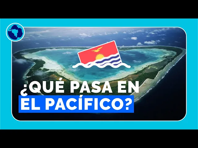
It is the first place that celebrates each new year, but it is not the only record that it has. We invite you to get to know Kiribati, the country that perhaps no longer exists. Before: look what I have to show you.
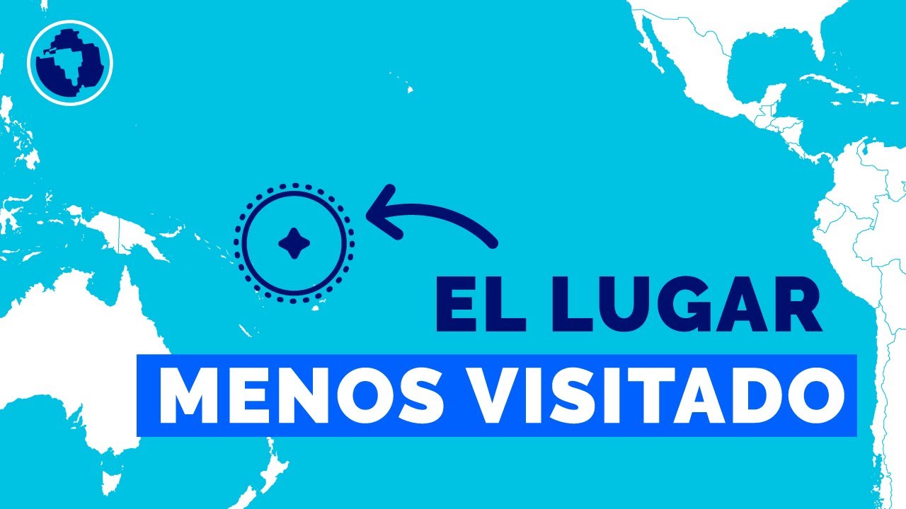
Our first book. Link in the description to buy it and at the end of the video we tell you a little more about what it is. Between Japan and Chile, or between Australia and the United States, we find Kiribati.
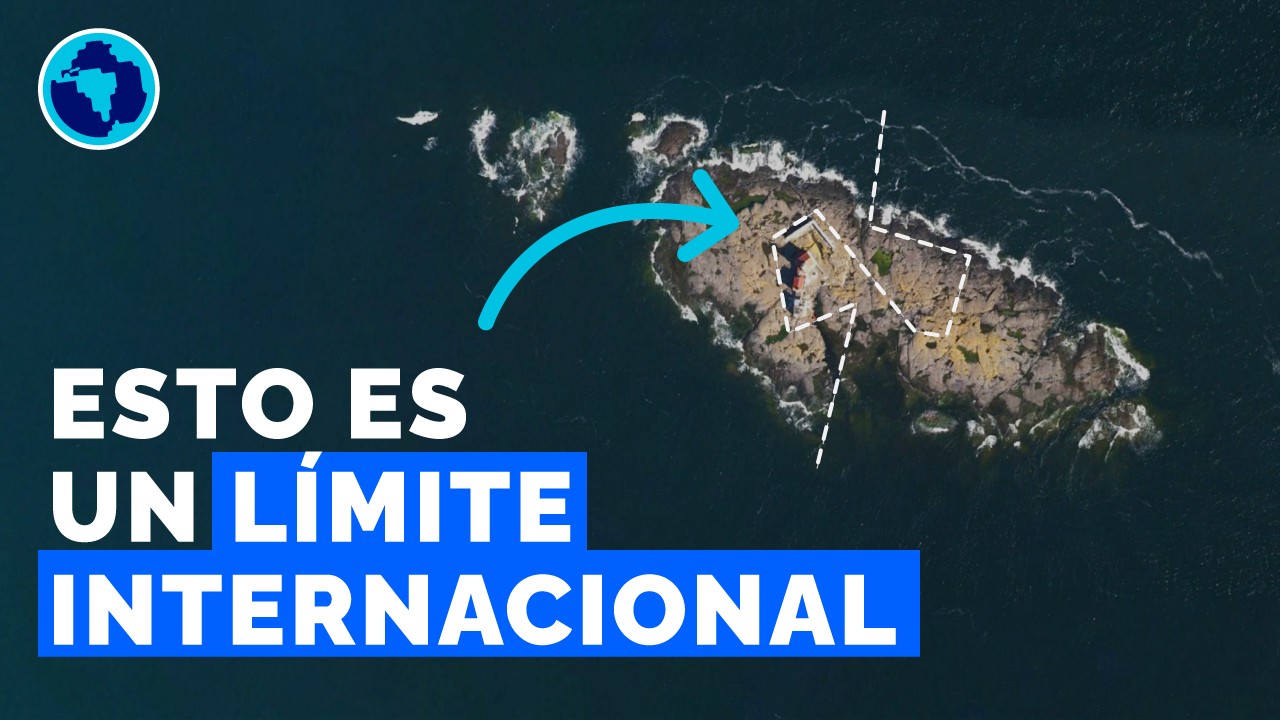
The vast Pacific Ocean is only interrupted by small islands, scattered miles and miles away. In the case of this country there are a total of 33 islands. Only one of them, Banaba, has a considerable elevation, reaching 81 meters above sea level.
It was one of the great sources of phosphate in the region, the same as Nauru. The rest of the islands, on the other hand, are almost flat atolls and can be grouped into three regions. The Gilbert Islands are 16 and there is South Tarawa, the capital of the country.
The Phoenix Islands are eight and are almost all uninhabited. To the east we find the Line Islands, and there are also eight that belong to Kiribati. There are also three others, which are geographically in this group but are administered by the United States.
All these islands, likewise, are very small. They add up to a total of 811 square kilometers, so they would enter the Dominican Republic about 60 times. But its scarce land contrasts with its infinite sea: its exclusive economic zone covers 3.
5 million square kilometers, an area larger than India. In other words, for every parcel of land that Kiribati owns, it has another 4,315 equal parcels of water. If Russia, the largest country in the world, had this same proportion, it would have an exclusive economic zone equivalent to 144 planet Earths.
As we see on the map, some islands of Kiribati are above and others below the equator. Parallel 0, which divides the planet into the northern and southern hemispheres, also passes through these other twelve countries. But Kiribati is also crossed by another relevant imaginary line: the antimeridian.
That is, the line opposite the Greenwich meridian, which divides the Earth into east and west. If we use the equator and the zero meridian, we can differentiate four quadrants of the planet. In each of them we will have Kiribati islands.
In addition, the exact point where the equator and the 180th meridian intersect is located in the territorial waters of this country. Kiribati has been described on many occasions as the only country in the world to be found in all four quadrants. This is how we see it, for example, on Wikipedia in English.
Or in The World Factbook, a CIA publication that contains relevant information from all countries. However, there is another country that shares this record. We give you the opportunity to guess which one is it and at the end of the video we will reveal it.
From the location that we have already seen, Kiribati was right in the middle of the international date line. Crossing this imaginary line implies changing the day of the week. Today we find a line that is not straight, but looks like this.
To a large extent this is explained by decisions taken in Kiribati. Of course, just as each country can choose its time zone, something similar happens with the date. Until the 1990s, Kiribati was divided into two separate days.
The easternmost islands were one day behind the western ones, causing various commercial and governmental complications. For the 1994 elections, one of the candidates for president, Teburoro Tito, promised a modification so that the entire republic would be united in the calendar. Since he won the elections, he was able to implement it at the end of the year.
In this way, the Line Islands went from December 30, 1994 to January 1, 1995. Not only were they the first country to receive that year, but they prepared for something that would be very important. During that time, the year 2000 was eagerly awaited.
With this change, eastern Kiribati put other countries in the area first. Thus, it was the first to turn the page of the calendar. In fact, Caroline Island was renamed Millennium Island.
It is the easternmost of all and there the celebrations for the arrival of 2000 were concentrated. Dozens of artists and journalists traveled from South Tarawa to broadcast live to the whole world from this remote and small atoll. But this change not only had repercussions at that time, but also continues to generate curiosities to this day.
By skipping a day, the Line Islands are in the +14 time zone. In this way, the clock ticks there the same as in Hawaii, just further north. But these American islands are a day behind.
With other inhabited places, such as American Samoa, where the difference is greater, 25 hours. In this way, three different days can coexist at the same time on the planet. When it's 0:30 AM on Thursday in eastern Kiribati, it's Wednesday almost everywhere in the world, and in American Samoa it's 11:30 PM on Tuesday.
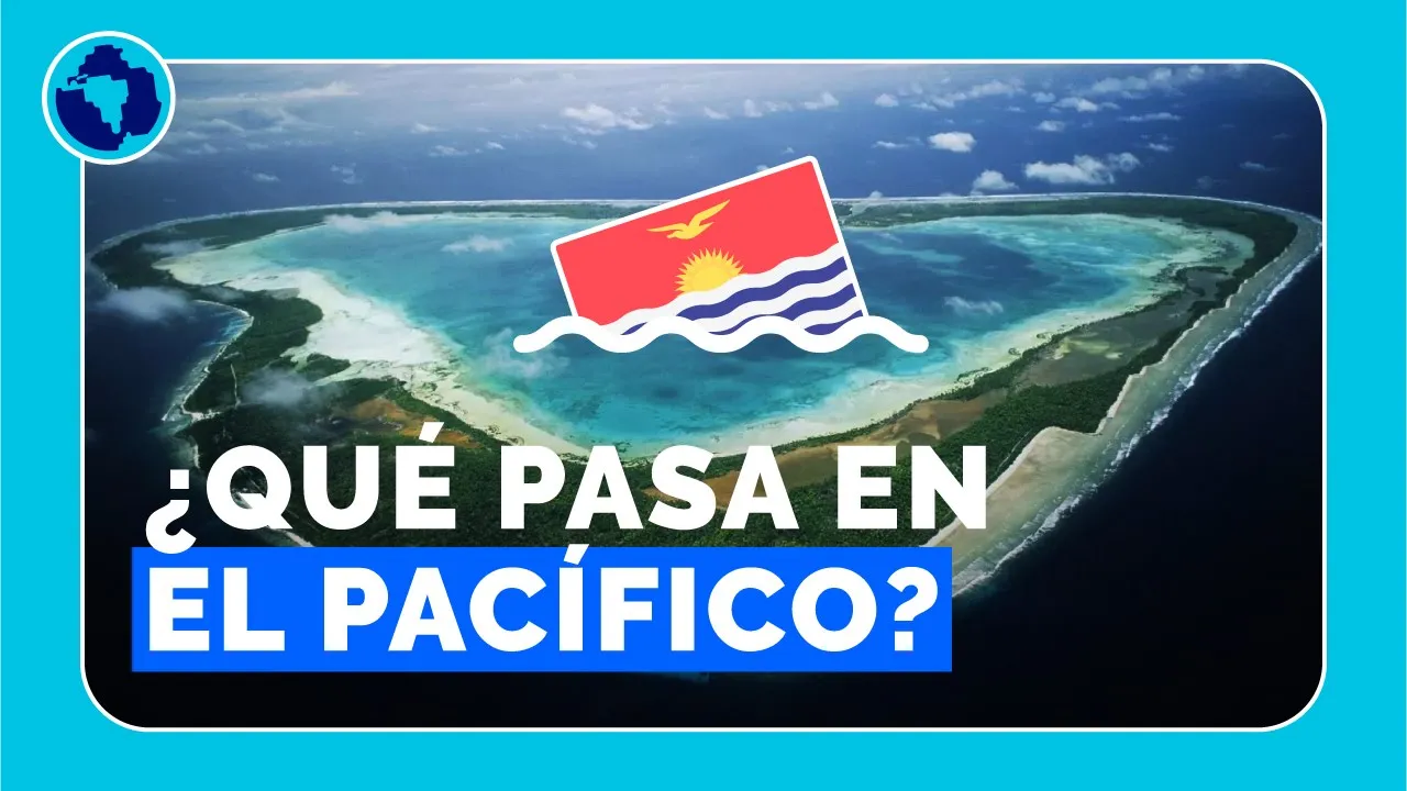
Within some time, however, this curiosity could cease to exist. It is that the entire nation of Kiribati is at serious risk of disappearing. This possibility had already been warned in 1989 by the UN.
A report by the agency argued that Kiribati could be the first country to disappear in the 21st century as a result of rising water levels. Due to climate change, the level of the oceans has risen 3. 2 millimeters per year on average in the last three decades.
For Kiribati, this is not a theoretical question, but they live it on a daily basis. Through the planting of mangroves and with barriers of this type, they seek to deal with what seems inevitable: that their homes are covered with water. That is why the country's authorities talk about the issue in every international forum.
The goal is to try to get the core countries to reduce their greenhouse gas emissions, which accelerates climate change. It seems increasingly difficult that Kiribati can hold out for a long time. That is why peculiar alternatives are explored.
For example, some leaders raised the option of buying 20 square kilometers from Fiji, so that the population itself can settle there. Some estimates believe that Kiribati could hold out until the end of this century. Others, however, believe that it will disappear within the next 10 to 15 years.
There are YouTube videos that are 17 years old, so we can imagine that the platform will continue to exist for a long time. If you see us in the future from when we are making this video, perhaps what seems inexorable has already happened: the disappearance of Kiribati. Tell us what year you are watching this video and if Kiribati still exists.
Before closing, we had to figure out which is the other country that is in the four quadrants of the Earth. Could you guess? Actually there are two.
One is France, thanks to its territories scattered around the world. In the northeast quadrant, for example, is metropolitan France. In the northwest, French Guiana.
In the southeast there are several islands, such as the Kerguelen. And in the southwest is French Polynesia, including Tahiti. And the other oneis UK.
The British Isles are in the northern two, while in the south there are several islands, such as Diego Garcia in the east and Tristan da Cunha in the west. And finally, the book. Un Mundo Inmenso, explanations of inexplicable places.
There are 240 pages where you will find photos, infographics, maps and all the updated information on the most incredible places in the world. You can get it in physical format, like this one, and also in e-book. In the description you will find the link to buy it.
See you in the next video.