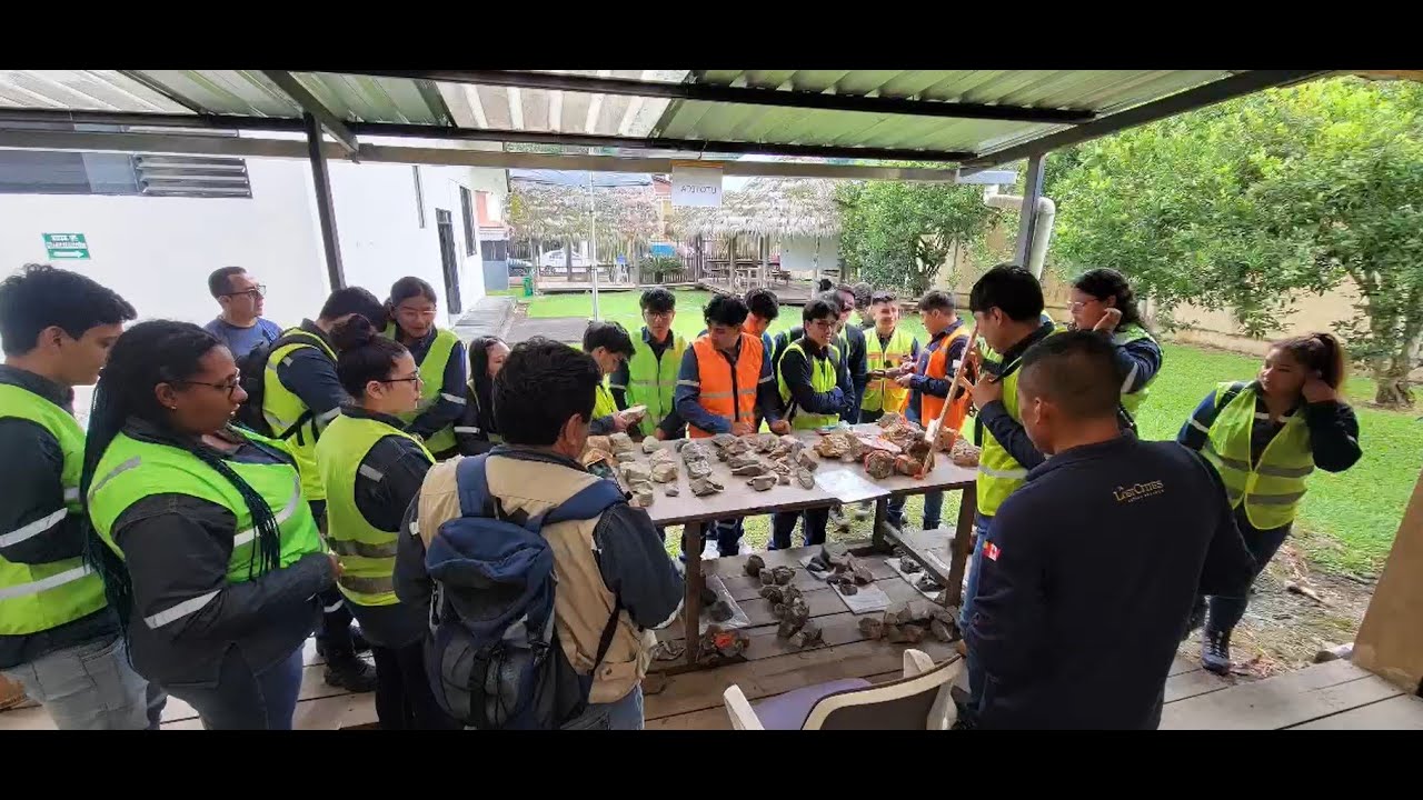
[Music] having seen images of the dense jungle that covers irania's lost cities kuduku project in southeastern ecuador investors often ask how we decide where to drill we'll show you how we come up with drill sites using our silver zinc lead target tyria schimpia as an example this is all built on basic field work observations by the geologists in this case measuring the attitude of the layering in sedimentary rocks the trend and angle of inclination of each layer measured in the field is plotted on a very basic map that also includes the location of faults which
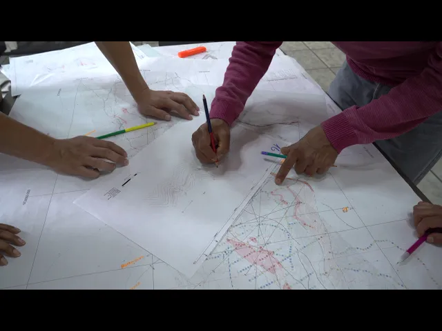
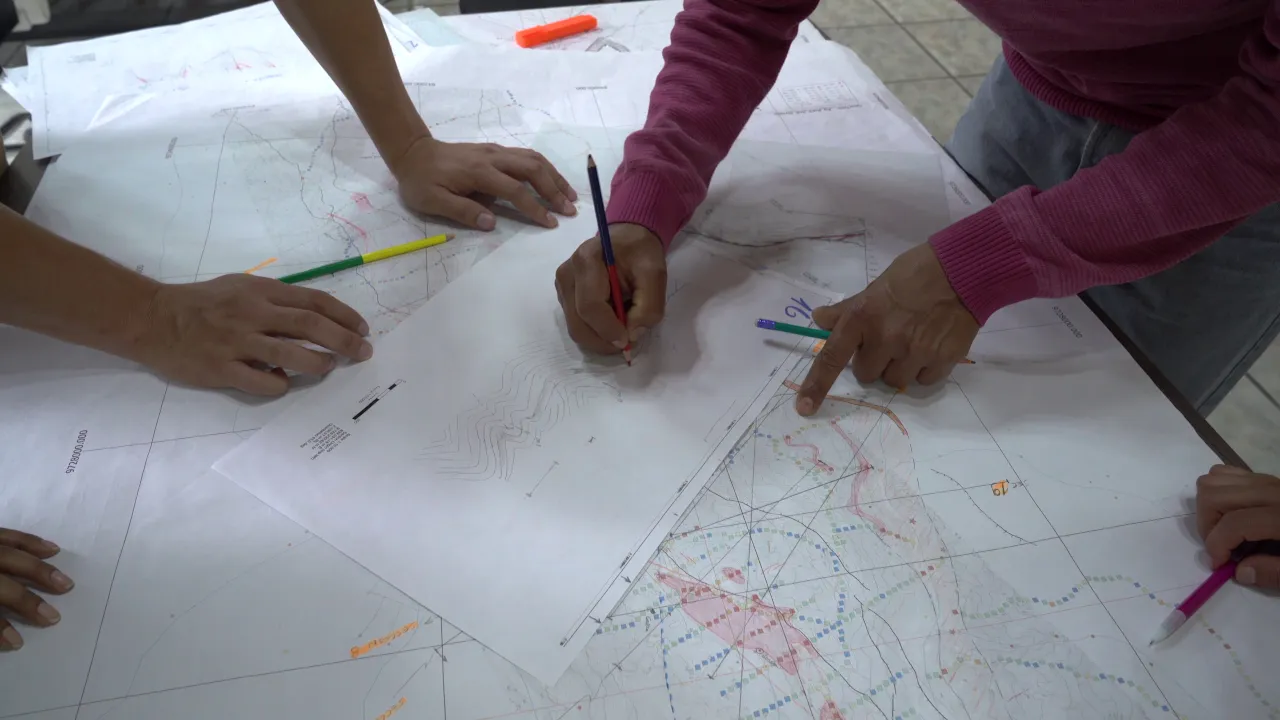
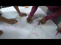
are more easily spotted on satellite imagery from a view many kilometers above the jungle the attitude of the sedimentary rock layers is transferred from the map onto vertical profiles drawn through the areas in which we have collected the most field data the inclination of the rocks in the field are marked on the profile through the topography with a dark line and then the simplest form of the strata is sketched on the profile there is a lot of folding interior shimpia which quickly becomes evident in the sketches where the attitude of the layers at surface are
extrapolated to depth a reasonable estimate of the shape of the layering quickly emerges from this simple sketch and then the nature of the rock is it shale limestone volcanic rock from the colored geological maps from the field observations is also incorporated on the bare bones shape of the strata sketched on the profile then soil sample results colored dots representing the concentration of silver in the soil are superimposed and incorporated onto the vertical profiles and the potentially silver bearing layers start to come alive in red shading even at this early stage the geologists are thinking about
where they would want to drill scout holes to test the potentially silver bearing layers the geological sections start to become predictive if a layer on one limb or side of a fold seems to contain silver then what about the other side of the fold where that layer comes to surface that layer hasn't been checked in the field yet that area needs to be checked and more discussion about where bore holes may best be located to check for the silver bearing layer [Music] one may question why we don't just use software to generate these profiles we
choose to use pencil and paper because it forces us to capture subtle features that we've seen in the field and the spatial association that emerges from the developing profiles forces us to choose the most likely geological relationship and highlights areas that need to be more carefully checked in the field software would just give us a best fit which often does not reflect reality each profile is checked with its neighbor for consistency why is a relationship changing between one profile and the next is that real or does one of the profiles need to be tweaked and
the profiles start to evolve in three dimensions the comparison of profiles generates more intense discussion about possible drill hole locations as the framework of the whole area emerges these profiles cover an area of approximately eight kilometers by six kilometers we've developed a detailed x-ray of the tyria schimpia area at minimal cost the cost of people's time once the profiles are reasonably consistent with their neighbors they are scanned and digitized so that the area can be visualized more easily in three dimensions a 3d model as true to what we've seen in the field as possible and
ready to be tweaked and updated by more detailed observations that come in from future fieldwork and more detailed checking of key areas stay tuned next steps are the 3d model and adding mobile mt geophysics into the mix [Music] you