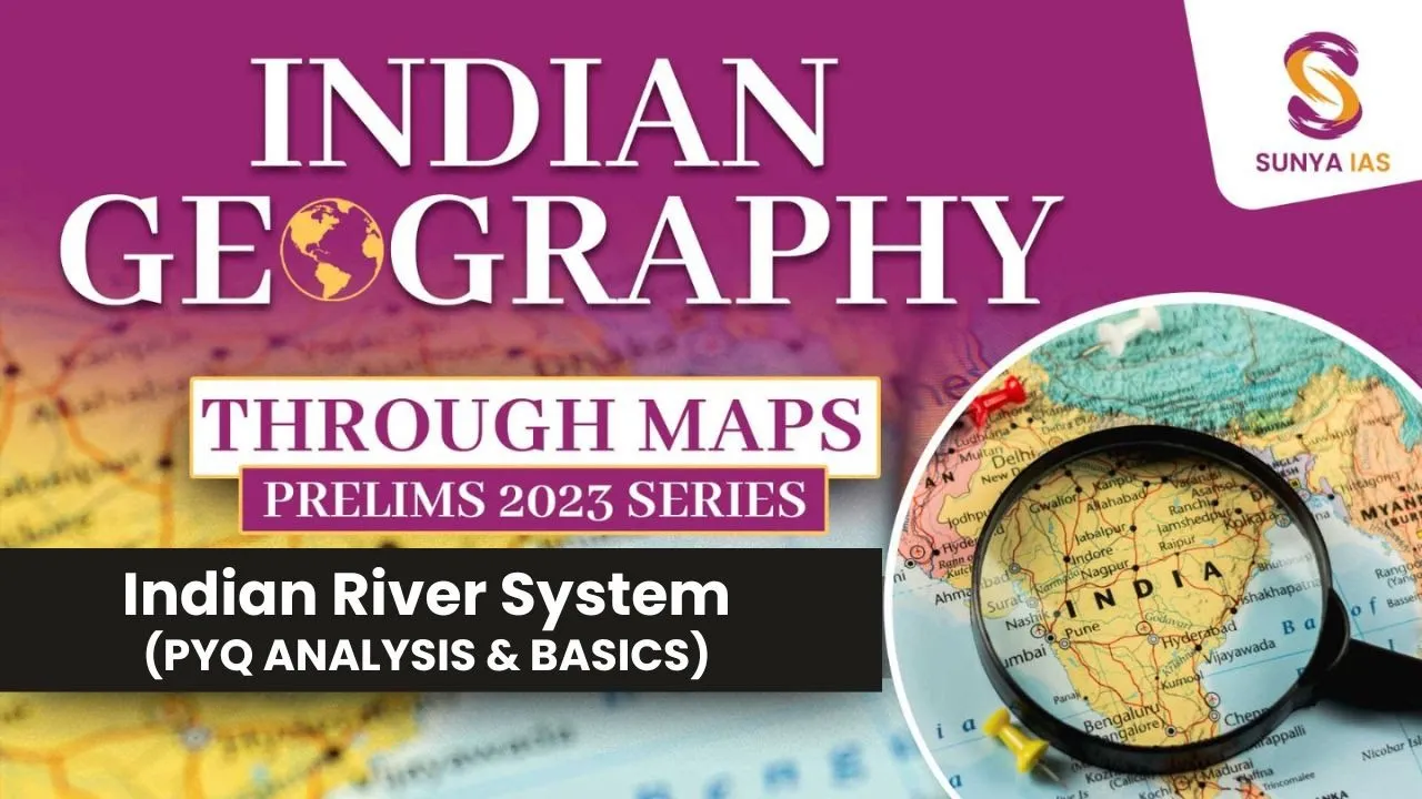
foreign guys I hope you all are doing really great and enjoying your time with us as per your request as per your demand I am going to start the whole Indian mapping series under Indian mapping we are going to see the river system of India guys we are not only going to see the rivers we are going to have all the rivers all the tributaries in our fingertips right so we will not directly jump into the different different industry versions and the peninsula Rivers first of all we will have the mindset that what we have
to pick how the questions are being asked by upsc because we are not going to be a geographist right geographical person we are not going to become we are going to become the civil servant so we have to just see it from the utility perspective that how much utility it is having in the examination how we will be knowing that by pyq analysis see this particular part guys this is 2021 prelims latest prelims guys understand I don't want you to pause the video I don't want you to like answer this question but you understand that
what upsc is asking where it is focusing guys right with the reference to the Indus River system again different different river system we are going to pick they have picked in 2021 Indus River system that means all the tributaries should be highlighted in your mind within few seconds within few seconds because you cannot give more than a minute to this question guys right of the following four rivers met means they are talking about the tributaries three of them pour into one of which joins the Indus direct among the following which one is such a river
that joins the Indus direct guys now they have how they have converted this simple question by the statement this body simple question but you will feel it completely very complicated right but once we will see Indus River system the way we are going to understand it the way we are going to have the hold of it what the easy question right now just understand what upsc is focusing you have understood that okay they are focusing upon the tributaries they are focusing upon the whole Indus River system right next question over here you will see guys
again consider the following riversadhara different different Rivers these are very not very prominent device they are small small rivers right which of the above rise from the Eastern guards what do you understand by this particular question guys sources are very important of any River you are studying also where they are going to where they are flowing to what where is the mouth mouth means where they are ending sources this we have to see everything will be on your tips guys either in state PCS upsc capf CDs Kobe exam right see this particular type of question
over here rivers are mentioned and the famous places nearby that River that means you should know you should have that I and whenever you are seeing whenever I am showing you certain River you should see that quantity famous cities is there any Capital passing through is there any famous city passing through because upsc is asking us to do so sorry place is important but upsc is saying that certain places are having importance at least right right see this particular question again again they are focusing upon River over here they are focusing upon distributary of brahmaputra
again River rangi the tributary of distributary of brahmaputra tributary tributary before that means we are going to see this also and flowing through which of the states which of the countries it is passing through states it is Flowing flowing through a b important right again the focus on tributaries of brahmaputra focus on tributaries of godavari so certain things you are understanding by the pyq analysis if I ask you why I am telling you this guys so that applying mindset up mind frame what they are asking pyq analysis you have done you have understood that subscribe
Eastern Rivers Eastern smaller Rivers Western smaller Rivers we are going to see the source our Focus area should be over here then you will be going to see the root of it States which all states it is passing through which all cities it is passing through now I am going to help you don't worry just sit back and relax right see those who have understood like World Geography from me other subjects like other subjects from me they must be feeling comfortable but those who are new sit back and relax guys everything is going to be
on your tips then next thing is tributaries very important tributaries or distributaries if it is having any fourth thing we have to know about the basically places the mouth where it is going to either it is going to be of Bengal by our Arabian Sea or Indian Ocean or it is getting eloped so we are going to see this we are going to see this but understanding the main things which you have to understand from every river system guys right now before moving ahead we have to know certain terminology see nothing over here right now
should be clear before starting river system drainage system most of the people must be understanding this very easily because they must have read somewhere your new students I am like thinking about them too I want everyone to be at the same level right those who know know it already just be patient guys right over here I want to create the same base of all who are watching this right so this is the land area certain land area you see this is one land area now can you tell me how what is the source of this
particular river system River over here what is the source of this particular River can you tell me that Source can either be precipitation or through the glaciers you can see the melting of glaciers also can initiate a water flow but can you say any water flow or drainage okay what is the difference between first of all a catchment then a catchment area also drainage what do you understand by the drainage drainage system drainage basin foreign explanation you will get in different different books but nobody will ask you directly I am telling you a slight idea
you should have again explanations every question will be clear ultimately you are not going to be a geographist again I am saying you somewhere this water is being collected so that means there are two sources I have told you either glaciers so that's why water is getting collected over here this water if it is not flowing through this particular Channel if it would not have been flown through this Channel and this we call it flood if this channel would not have been presented this particular channel would not have been presented then water collected over here
would have been spread all over the area and this condition is known as flood flood is but if there is a channel and channel is supporting the flow of this water then this is known as a drainage now the term drainage will come that water is flowing through a particular Channel I can call it drainage I am understanding drainage from the River Point of View drainage system that's why I call it drainage over here you are saying drainage okay so that means catchment area that means catchment area is so you have different catchment areas in
a particular region so from this particular region you are seeing a main river channel is Flowing guys mean drainage channel is flowing okay in particular area will be flowing and it will be meeting the main river Channel these confluences are very important in uttarakhand you understand about punch prayag five confluences very important you understand about the priyagrange Confluence over there you understand it what's different different confluences are very important from the surprise but you understand this terminologies Confluence these rivers are tributaries basically is this whole particular drainage Channel you are seeing connecting with the main
Channel this is known as your network of channels basically drainage system and drainage based in this hole over here in this particular area you are seeing that okay all the water all the catchment area all these channels are flowing into one main river and this whole river system in this particular area is known as drainage basin drainage basin which is also known as a river basic so you understand okay over here you understand that this is your land you have seen a river flowing like this certain catchment in different different catchment areas and different different
channels will be formed it will be growing towards one mean basically one main river Channel this will be known as suppose Indus River system you call them Indus River system or Indus drainage basin means second because of the topographic feature you are seeing over here main river is flowing and over here you are seeing this particular tributaries again catchment areas this is your second River Basin guys and this you are calling it as ganga river system just for example I am giving ganga river system of Ganga drainage basini this is the drainage basin of Ganga
because over here ganga and distributaries are basically feeding these areas two systems are getting divided what do we call this we call this Watershed divided guys Watershed table now I am again saying in geography they have made it very confusing development around Drainage Systems drainage basin what do you understand by this when I am saying drainage basin you are only concerned about the Indus water sources Water Resources you are only concerned about drainage basin you are concerned about this Indus mean Channel you are concerned about this particular tributaries of Indus you're not concerned about the
factory over here you are not concerned about the village over here you are not concerned about the forest over here but when I say Watershed Watershed is a larger term we include not only the Water Resources we include also the land resources very simply I am telling you up explanations then I am thinking not only about the Water Resources I am thinking about the land resources also thank you understanding guys let me write it again about the drainage base no need to go into that stuff I am again telling you when a hurricane source I
have seen easily I am trying to explain you what Russia images Watershed divide drainage basin means only concerned about the Water Resources foreign what must be coming into their mind that Watershed means they are talking about these industries these towns these Villages these Forest areas these are land resources also the river resources over here the Water Resources like this recharging the ground water so this is your Watershed and you understand integrated rotation Management in Europe basically economics when you see the schemes different schemes right I hope certain terms you will see that Bots are different
what's our difference but again they have written one line that there is not a fundamental clear-cut difference between these terms so these were certain terminologies also you see that how the river flows basically you must understand about the drainage pattern also guys drainage button just over here you see drainage pattern drainage pattern means how the particular channel of that particular river is flowing patterns two types of pattern you will find either it will be this coordinate or it will be concordant these words are difficult concordant drainage basically I am saying these words are difficult to
understand those who know well and good discordant means that they are not following the topography understand they are not following the topography for example if they are flowing like this they will not change their path if some obstacle will come over here if some Mountain block will come over here they will not change their path guys rather they will basically go through this particular area by eroding this surface and they will follow the same path like this so these type of rivers are called these type of drainage pattern are called Squadron drainage pattern where they
are not following the basic topography in which they are flowing because of various reasons which I will be telling you time to time in different different river systems right so basically these type of river systems are of two types over here you will see antecedent type of drainage pattern antecedent type of drainage pattern and superimposed type of drainage pattern superimposed Concordance follow the topography it follows the topography follows follows means this is the slope basically then I'll be showing you in the river so like this they will be flowing the slope you will get let
me show you guys see this particular image suppose in figure number one there is like over here you have seen a uplifted Land part now in the second picture you are seeing a small River like this over the time what will happen you see this particular uplifted part over here right and above that this river is flowing over the period of time time this upper surface will be eroded and it will be still going through in the same direction by eroding this particular uplifted land guys it is not changing its path it is flowing through
the same path second example so this is the antecedent type of example or the antecedentary Himalayan reverse why because Himalayan were formed Himalayas were formed later on Rivers were present there Himalayas later got formed by upliftment of that part if you have known the oceanic and Continental convergence Himalayas antecedent Rivers we are cutting across it forming Georges forming Canyons you understand about the different landforms created by Rivers topic I am not going to explain you right now this right but you understand this is your antecedent type in my Himalayan Rivers industrial River system ganga river
system this is your superimposed type of system with superimposed drainage system now these are soft rock layers that means they have been eroded now still this particular now river is flowing through the hard rocks which were present underlying this maybe again they are flowing easily these are superimposed they have not changed their path but they have cut across this Ridge of resistant Rock so they have basically superimposed themselves and these super imposed and antecedent are the part of only discordant yeah concordant which are following the path basically corn content according content may you will find
this particular main river as consequent river which is which has which we call as a master River also right consequent River and the tributary is joining this consequent river is basically known as subsequent River questions again I am seeing you this is not geography optional this is just your geography mapping in this particular reverse system are important their tributaries are important but you understand basic difference you are understanding sequence and subsequent foreign this Western because of this Western guard you see this particular slope from west to east in this particular part that's why you see
the rivers are flowing or following the spark only or the rivers originating over here they are flowing in eastern oh sorry in this part like this from east to west certain Rivers very small rivers right so like this we are going to understand through the throughout the series don't worry we are going to see it again and again but this is also another type of drainage pattern guys somewhere you will be seeing that the river system will be generally this trendytic pattern dendritic pattern it follows then retic pattern a tree like tree cake branches this
is the Bedrock which is uniform now okay a rectangular means a block formation so you will be you will be seeing the patterns like this that is foreign we are going to see from like small small parts we will be covering the Indus River system All Rivers not even a single River Eastern Rivers so first we will cover this index then this ganga then brahmaputra then Peninsula Rivers the Eastern Rivers Western things like this we are going to cover it guys don't worry just be relaxed about this now this Series has been studied if you
wanted to continue do comment it right in the next class one word I am going to start this Indus River system this class only I told you about the pyq don't try to solve it but just try to understand it and the basics next video you can open up it will be about the Indus River system right okay thank you so much I'll be meeting you in the next session [Music]