They say the name Idaho came from a Native American word meaning the land of many waters. For years, people believed this name was made [Music] up. In fact, it was suggested in the 1860s by a man named George M.
Willing as a name for a new territory. He claimed it was from a Shosonyi word, but later admitted he made it up. [Music] Still, the name stuck.
And oddly enough, it does sound like real native words. And it fits because Idaho is rich with rivers, lakes, and waterfalls. [Music] A land shaped by water in more ways than [Music] one.
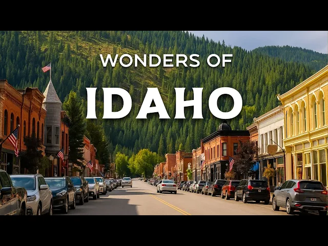
Welcome to [Music] Idaho, a place where the past flows into the present, just like the rivers that carved its canyons. [Music] A place of peaceful forests, towering peaks, and skies that turn gold at [Music] sunset. And what stories lie beneath Idaho's rivers, mountains, and [Music] skies?
Stay with me. [Music] Because what you'll discover in Idaho is something most people rarely talk about, but once you see it, you'll never forget it. 14,500 years ago, an ancient lake exploded.
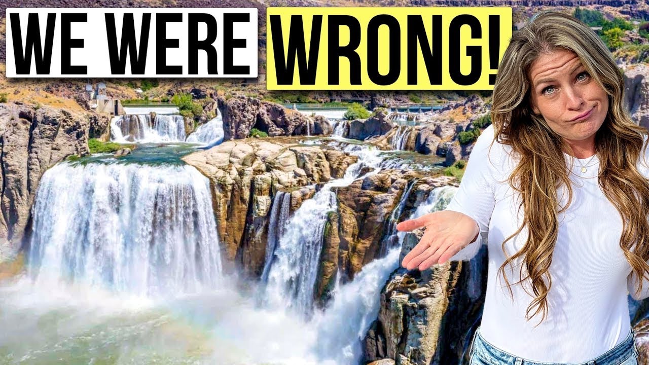
It released more water in a few days than the Snake River carries in 1,000 years, carving a canyon, creating a waterfall taller than [Music] Niagara. That force gave us Sushonyi Falls. [Music] At 212 ft tall, Shosonyi Falls rises like thunder out of the Idaho desert.
A sudden masterpiece shaped by ice, fire, and time. [Music] The water crashes over rock that's more than 6 million years old. Formed from ancient lava that once flowed beneath the sky without [Music] cities.
Here in a place so dry and wide, the sound of the falls feels like the earth itself remembering [Music] something. For native tribes like the Shosonyi, this wasn't just a waterfall. It was sacred ground, a place to gather, to trade, to honor the river's spirit.
[Music] Mist rises from the base, catching the sun, drifting through the canyon like smoke from an old story. [Music] Every spring, melting snow fills the Snake River again, and the falls roar back to life, filling the valley with the same sound heard thousands of years ago. Now, before we move on to the next destination, here's a fun question for you.
When did Idaho become a [Music] state? Comment your guess. Palisades Reservoir spreads across nearly 16,000 acres right in the heart of the Rocky Mountains.
This stunning lake sits along the Snake River and stretches about 18 m from Palisades Dam all the way to Alpine, Wyoming. The reservoir shoreline is about 70 mi long, filled with sandy beaches, quiet coes, and grassy spots perfect for relaxing or exploring. The land around the reservoir is full of life.
You might spot elk, black bears, or even mountain lions roaming nearby. Bird lovers will be amazed by the many species here, from great blue herand to wild turkeys. In fact, the area is a paradise for wildlife watchers and nature fans alike.
If you enjoy camping, Palisades Reservoir offers nine campgrounds with 181 family units, making it a great place to stay and enjoy the outdoors. [Music] Fishing is also very popular here with local guides ready to take you on scenic boat tours across the calm [Laughter] waters. In autumn, the whole area transforms as trees and bushes turn bright orange, gold, and red.
A truly magical site that draws visitors every year. If you are watching this, please click the subscribe button in the corner of the screen. It's completely free but means a lot to us.
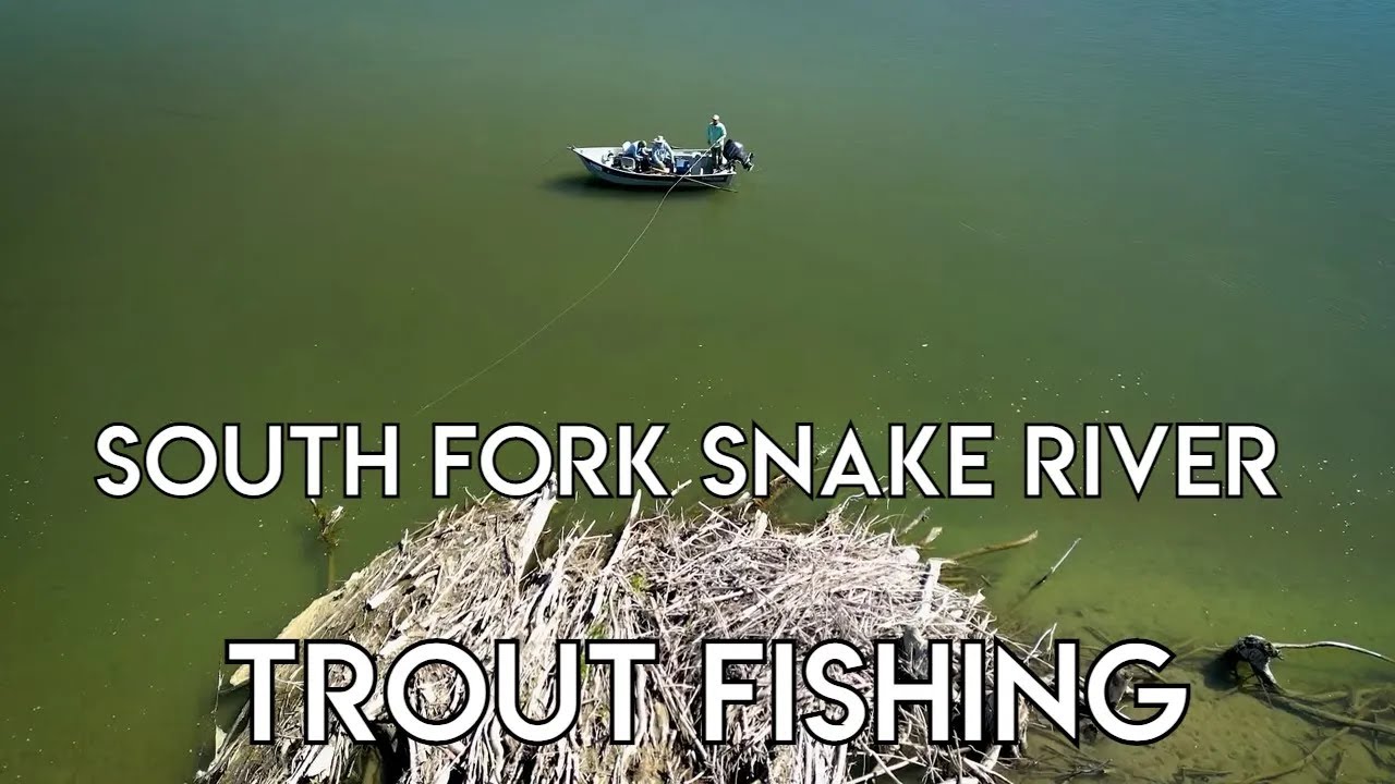
[Music] Henry's Fork is a 127 m long river in southeastern Idaho and is also called the north fork of the Snake River. [Music] It starts at Henry's Lake and Big Springs, where nearly 500,000 gallons of cold, clear water flow into the river every [Music] day. This fresh water keeps the river cool and perfect for wildlife.
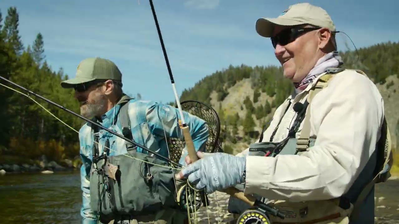
[Music] As it flows south, Henry's Fork passes through the Caribou Tari National Forest and then enters the Island Park Reservoir, which is important for irrigation in the area. [Music] From there, the river rushes over two beautiful waterfalls called Upper Mesa Falls and Lower Mesa Falls, where visitors can stop to enjoy stunning views. [Music] The river is famous for trout fishing, especially for rainbow trout, which use the clean waters to spawn in the [Music] spring.
Along the river banks, you might spot moose, trumpeter, swans, and blue herand, making it a great place for wildlife watching. [Music] Finally, Henry's Fork flows into the Snake River near Rexburg, creating a wide inland delta with many channels and rich [Music] habitats. This river combines history, nature, and adventure, making it a wonderful stop on any Idaho trip.
[Music] The Sawtooth Range is one of the most impressive parts of Idaho's Rocky [Music] Mountains. It covers a huge area of 678 square miles stretching across four counties. Kuster, Boise, Blaine, and [Music] Elmore.
This range gets its name from its jagged sawtooth-shaped peaks that rise sharply against the sky. [Music] The highest peak is Thompson Peak, standing tall at 10,751 ft. Surrounded by 56 other peaks over 10,000 ft.
[Music] These mountains were formed millions of years ago by volcanic activity and shaped by glaciers during the ice [Music] age. Even though the glaciers have melted, you can still find more than 200 snow fields and rock glaciers clinging to the northern slopes. [Music] Evidence of ancient glaciers remains everywhere in deep valleys, sharp ridges, and crystalclear glacial lakes.
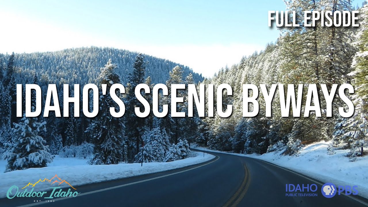
[Music] In 2010, scientists discovered the Sawtooth fault near the base of the range, a fault line that could cause a strong earthquake in the future. [Music] Hiking or just admiring the Sawtooths lets you feel the powerful history and breathtaking beauty carved into every peak and valley. [Music] [Music] Sun Valley offers the perfect escape for anyone craving fresh air and timeless beauty.
Located in Idaho's high desert at nearly 6,000 ft above sea level, this resort city is famous for its breathtaking mountains that change with every season. In summer, hikers explore peaceful trails surrounded by wild flowers and towering pines. Winter transforms the area into a snowy paradise with Bald Mountain or Baldi standing at 9,150 ft, offering a thrilling 3,400 ft vertical drop for expert skiers.
[Music] right next door, Dollar Mountain welcomes beginners and those just learning to ski, making Sun Valley a place for everyone. [Music] Sun Valley holds a special place in history, especially for literature lovers. [Music] In 1939, Ernest Hemingway first visited the Sun Valley Lodge where he finished writing for Whom the Bell Tolls.
He loved it so much that he moved to nearby Ketchum in 1959 and was later laid to rest in the town cemetery. [Music] Stanley might be small, but it's surrounded by some of the biggest views in all of Idaho. [Music] This little town sits in the middle of the Sawtooth Valley, hugged by rugged peaks and wild open skies.
[Music] The first outsiders to find this place were fur trappers in the 1820s, but they moved on quickly. There weren't enough beavers to keep them around. Then in the 1860s, a Confederate war veteran named Captain John Stanley led gold hunters through here.
They didn't strike it rich, but the town kept his name. [Music] [Music] Stanley didn't become an official town until 1919 when its streets and land were finally mapped out. It's long been a gathering spot for people across this quiet part of Idaho, where neighbors may live miles apart, but always find their way here.
[Music] In 2005, the town made headlines by electing the youngest mayor in Idaho's history, just 22 years old. [Music] And when the total solar eclipse passed overhead in 2017, Stanley's clear skies brought in thousands of visitors from around the world. [Music] Now part of the central Idaho Dark Sky Reserve, this peaceful mountain town offers some of the clearest, star-filled nights you'll ever [Music] see.
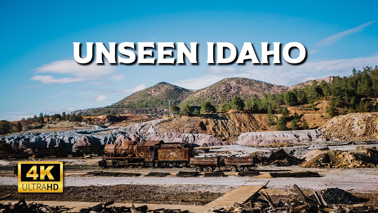
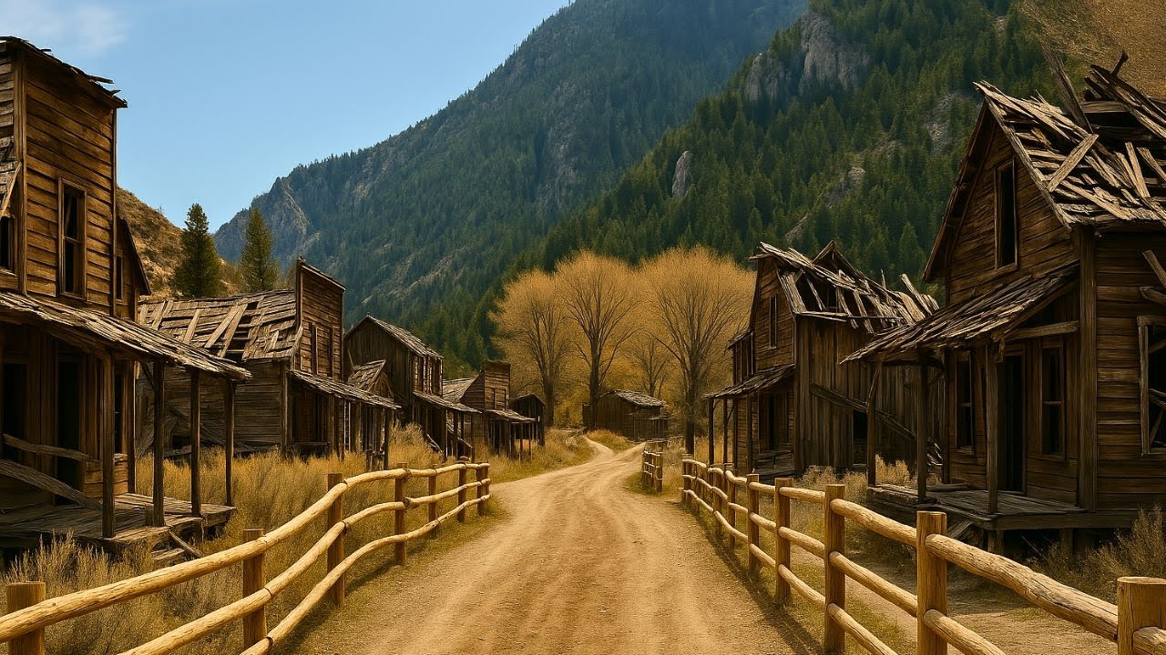
Bayorse is an old ghost town in Idaho started in 1877. Back in the late 1800s, this town was buzzing with silver mining and had around 300 people living here. They even built a refinery to turn silver ore into bars right in town.
[Music] Today you can visit Bayorse as part of a state park and explore old buildings and mining [Music] tools. One US city used to be the site of brutal battles between the army and native tribes. Now it's one of the fastest growing cultural hubs in the west.
This is Boise, [Music] Idaho. In the 1800s, the land around Boise was home to the Shosonyi and Banic tribes who had lived there for generations. [Music] As more settlers moved west, tensions grew and violent clashes broke out across the region.
[Music] In 1863, the US Army built Fort Boisey during the Snake War, a long and bloody conflict with native [Music] tribes. The fort helped protect gold miners and travelers on the Oregon Trail, but it also forced native people off their land. [Music] That same year, a small town started growing next to the fort and it was officially named Boise.
[Music] See with its location near the Boisee River and the trails heading west, it quickly became an important stop for trade and supplies. Over time, the town grew into a busy center for business, politics, and farming. And that early mix of conflict, location, and opportunity shaped the Boise we know now.
Is Boise on your travel list now? Leave a one if you've been there, or a two if it just jumped to the top of your must-see spots. [Music] The Snake River is a lifeline that winds through three states, carrying stories, history, and a journey unlike any other.
It begins high in Wyoming, flowing across southern Idaho before turning north along the Idaho Oregon border. Then it meets the Colombia River in Washington, becoming the largest tributary of this mighty waterway. This river has shaped the land and people around it for centuries.
Farmers depend on its waters to grow Idaho's famous potatoes, sugar beets, and many other crops. Long ago, over 2 million wild salmon and steel head would swim upstream here every year. In fact, they spawn higher up the mountains here than anywhere else in the world.
[Music] Over time, big dams built on the lower Snake River made it harder for these fish to make their [Music] journey. In 2001, a rare salmon fishing season brought nearly $90 million to Idaho's economy, showing how important these fish still are. Now, people are working hard to bring wild salmon back, hoping to restore the river's natural rhythm and beauty.
[Music] The Boise River flows over 100 miles from the High Sawtooth Mountains all the way to the Snake River. It starts where three mountain streams meet, each coming down from snowy peaks above 10,000 ft. These forks run through wild forests and deep canyons, showing off Idaho's rugged beauty.
As the river flows southwest, it fills two big reservoirs, Arrow Rock and Lucky Peak, which help provide water, electricity, and flood control for the Boisee area. People have built dams here over the last century to protect and support the local communities. Near the city, the river winds through a green belt full of trees and parks where locals enjoy walking and fishing along the calm water.
The Boisey River's name comes from the French word boy meaning wooded because of all the trees along its banks. Before 1863, it was called Reed's River after John Reed, an explorer who traveled this land in the early 1800s. [Music] Finally, after crossing farmland and city, the river joins the Snake River near the Idaho, Oregon border, finishing its long journey.
[Music] We gather info from many sources. If you spot anything off or have something to add, drop it in the comments. We'd love to hear from you.
[Music] More than 10,000 years ago, a giant glaciershaped Payet Lake, a hidden treasure in Idaho's mountains. [Music] [Music] This huge glacier was almost 1,000 ft tall and 2. 5 mi wide.
It slowly carved out the deep basin that holds the lake today. [Music] Now, Pyet Lake covers over 5,300 acres and sits about 5,000 ft above sea level. At its deepest point, it reaches nearly 400 ft.
[Music] Half of the lake is protected by Ponderosa State Park, which is a 1,000 acre area full of forests, hiking trails, and quiet sandy beaches. [Music] People come here to camp under tall pine trees, walk peaceful trails, and boat on the clear water while enjoying amazing mountain views. [Music] Native American tribes lived around the lake for thousands of years, fishing and living close to [Music] nature.
Then in the 1860s, gold was found nearby. [Music] This brought miners and settlers and the town of Macall was founded on the lake's southshore. By the early 1900s, McCall became a popular place for visitors looking for outdoor fun in both summer and winter.
There's also a local legend about a sea serpent named Charlie said to live in the deep waters of the lake much like the Loch Ness monster. Twin Falls is the largest city in South Central Idaho and sits right on the edge of the breathtaking Snake River [Music] Canyon. The city was founded in 1904 after a bold irrigation project made farming possible in the dry, high desert.
Soon after, the town grew quickly thanks to successful farming of sugar beets, beans, and other [Music] crops. The Snake River continues to shape the city with landmarks like Shosonyi Falls. often called the Niagara of the West, drawing thousands of visitors each year.
Just imagine standing 486 ft above a mighty river, feeling the wind, and watching someone leap off the edge with a parachute. [Music] This is the Pine Bridge, the only place in the US where you can base jump all year round without needing a permit. [Music] Stretching across the Deep Snake River Canyon in Twin Falls, Idaho, the bridge is nearly 1,500 ft long.
[Music] It's not just for thrill seekers. Walking paths on both sides let visitors enjoy stunning views of the river, lakes, and waterfalls. [Music] The bridge is named after IB Prain, a pioneer who helped turn this desert land into a farming paradise.
[Music] The original bridge opened in 1927, but it was replaced in 1976 with the one we see today. Stronger, safer, and built to last. [Music] Over the years, the Pine Bridge has become more than just a crossing.
It's a place full of adventure, stories, and breathtaking scenery. Did you know Idaho's state capital building stands tall with a dome reaching 208 ft [Music] high? It's a beautiful place right in Boise where the state's government works every day.
This grand building took 15 years to finish from 1905 to 1920. And it shows off a style inspired by ancient Rome and [Music] Greece. The outside is made from sandstone taken from a nearby quarry called Table Rock.
[Music] Inside you'll find over 200 marble pillars, each made with a special mix to look like real [Music] marble. Look up inside the dome and you'll see stars that tell a story. 13 big stars for the original states and 43 smaller ones for Idaho joining the [Music] US.
On the floors, there's a compass rose with a sund dial made from Idaho's minerals, and many beautiful murals and sculptures decorate the halls. [Music] Visitors can walk through the building on free tours and feel the history all around. [Music] Just remember, some areas might be closed when the government is busy [Music] working.
The Idaho State Capital is not just a building. It's a symbol of Idaho's proud history and a must-see spot when you visit Boise. [Music] About 28 miles southwest of Twin Falls, Idaho, you'll find the Salmon Falls Dam standing tall over Salmon Falls Creek.
[Music] It was built over 100 years ago of between 1908 and 1910. And back then it was one of the biggest dams in the world. [Music] The dam holds back a large lake called Salmon Falls Creek Reservoir, which stretches about 17 mi long when it's full.
[Music] This reservoir stores a huge amount of water to help farmers in the area grow their [Music] crops. The dam is made of concrete and is 217 ft high and 450 ft long. That's pretty [Music] big.
Even though it helped bring water to the land, the builders had some trouble because water leaked through the lava rocks underneath. [Music] Besides giving water for farming, the dam also helps control floods, and it only spilled over twice in 1984 and 2017. [Music] People often visit the reservoir for fishing and relaxing by the water.
[Music] The dam is also an important historic site and was added to the National Register of Historic Places in 2009. McCall sits on the southern shore of beautiful Pyatt Lake, right in the heart of Idaho's Payet National Forest. The land here was once home to Native American tribes like the Shosonyi, Nespur, and the Sheep Eaters.
[Music] In 1889, Tom McCall and his family settled this spot, trading horses for land and building the first cabin near the lakes's edge. [Music] Tourism soon grew when visitors came for sailboat rides offered by Jews Harp Jack, making Macall known as a fun lake resort. By the early [Music] 1900s, Each winter, McCll hosts a famous carnival that draws hundreds, sometimes thousands of guests to celebrate the community spirit.
[Music] In 1938, Hollywood came to film the movie Northwest Passage right in McCall's forests and by its lake, showing off the area's natural beauty. [Music] Magic Reservoir was created in 1910 when the Magic Dam was built across the Bigwood River in central Idaho. [Music] This large reservoir spans about 3,740 acres and holds enough water to supply farms across Thomas and Blaine [Music] counties.
The dam itself is 128 ft high and also helps generate electricity with a power output of up to 9 megaww. [Music] [Music] In summer, visitors enjoy boating, water skiing, and camping at one of the nine semi-developed campgrounds around the [Music] lake. In winter, the lake freezes and becomes a popular spot for ice fishing.
[Music] Bird lovers also flock here to see trumpeter swans, tundra swans, and birds of prey in their natural [Music] habitat. Magic Reservoir isn't just a water source. It's a peaceful getaway that brings together history, nature, and [Music] community.
Spirit Lake is a freshwater lake in Cudani County, northern Idaho, about 25 km northwest of Kurden. The lake stretches over 7 km long and more than 1. 6 6 km wide, covering up to 1,600 acres of surface [Music] [Music] water.
Sitting at 2,440 ft above sea level, Spirit Lake is one of the highest small lakes in the Inland Empire region. [Music] Unusually, the lake has no visible outlet and scientists believe it has a completely sealed bottom. [Music] This rare feature has fueled legends, giving Spirit Lake its name and adding a sense of mystery to the peaceful waters.
[Music] Tucked into a quiet mountain valley, Lava Hot Springs is one of Idaho's bestkept [Music] secrets. It's known for something much more relaxing. Natural hot springs that bubble up year round, inviting visitors to soak and unwind.
These mineralrich waters are believed to have healing properties and people have bathed here for [Music] generations. The city covers just 0. 71 square miles with most of it being land and the scenery around is full of mountains and clear skies.
[Music] You can soak in the steaming springs while snow falls gently all around. An experience you won't soon [Music] forget. High up in Idaho's Sawtooth Mountains lies a stunning lake called Redfish Lake.
[Music] It's a long narrow lake surrounded by tall rocky peaks making it one of the most beautiful spots in the state. [Music] Located just 5 miles south of the small town of Stanley, Redfish Lake sits at over 6,500 ft above sea [Music] level. The lake's name comes from the bright red sckeye salmon that used to fill its waters every year during spawning season.
[Music] Visitors love to swim, kayak, and hike around the lake, especially in summer when the water is chilly but refreshing. A ferry runs across the lake from Redfish Lake Lodge, making it easy to explore both sides. [Music] There are more than 17 m of trails that show off amazing views of nearby mountains like Mount Habar and the Grand [Music] Mogul.
Diri is a quiet town with deep roots in logging history and surrounded by stunning hills and forests. Founded in 1907, Deerry grew around the lumber industry and was named after William Deiri, a local business person in logging. Before that, it was known as Spud Hill, a busy way station owned by Joe and Lou Wells, two Africanameans who welcome travelers on the road to nearby forests.
Today, many of the original early 20th century buildings still stand in downtown Derry, giving visitors a glimpse of its past. [Music] The town sits at the base of Potato Hill, still called Spud Hill by locals, and is surrounded by forests, meadows, and peaceful creeks. Outdoor lovers will enjoy hiking and biking through scenic trails, fishing in nearby waters, and snowmmoiling when winter covers the hills in snow.
[Music] With just 0. 65 square miles of land, this small town offers a peaceful pace and friendly community, perfect for those wanting a break from busy city life. [Music] Standing quietly beside the Snake River, the Idaho Falls, Idaho Temple is a place of deep faith and striking [Music] beauty.
It was announced in 1937 and finished after World War II, becoming the very first temple built in the state of Idaho. [Music] The design came from architect John Fetzer, who drew inspiration from stories in the Book of Mormon. During the war, construction had to pause, but the temple was finally dedicated in 1945.
[Music] The Idaho Falls, Idaho Temple is more than just a building. It's a symbol of faith, community, and enduring peace. [Music] [Laughter] [Music] Tucked away near the Utah border, Malad City might look quiet, but it's full of stories that surprise and inspire.
[Music] This small Idaho town got its name from French trappers who thought the local river had made them sick. Though it was actually the food they ate. [Music] Founded in 1864, Malad is one of the oldest towns in Idaho and has a deep connection to Welsh culture and latter-day Saint pioneers.
[Music] Mad once boomed as a busy stop between Salt Lake City and Montana, especially after the railroad arrived in [Music] 1906. Through time, the town has faced big events. From a flood in 1910 to a powerful earthquake in 1975 and even a deadly plane crash in [Music] 1996.
Even through hard times, Malad stayed strong. You can still feel its history in the old buildings and the quiet [Music] streets. Around 15,000 years ago, a flood from a melting glacier rushed through the land and changed everything.
[Music] The powerful water cut deep into the rock, leaving a canyon nearly 8,000 ft deep, even deeper than the Grand Canyon. [Music] This is Hell's Canyon, a place shaped by time, water, and fire into a stunning natural [Music] wonder. It stretches about 10 m wide along the border of eastern Oregon and western Idaho.
[Music] The story of this land goes back millions of years when volcanoes erupted under the [Music] ocean. Over time, those volcanoes sank and layers of rock built up on top. Later, lava flowed over the land, making a high [Music] plateau.
About 6 million years ago, the Snake River started cutting through that plateau, slowly forming the canyon. [Music] Then around 15,000 years ago, a huge flood from glacial Lake Bonavville reshaped the canyon even more. [Music] Today, Hell's Canyon covers over 214,000 acres and is mostly untouched by roads or [Music] buildings.
Thick forests grow on the steep canyon walls, while the river bottom is dry and desert-like. [Music] This mix of forest and desert makes Hell's Canyon a rare and beautiful place to explore. [Music] Fall Creek Falls is a breathtaking natural gem in Idaho, where a gentle creek tumbles down rocky ledges overlooking the mighty Snake [Music] River.
Fall Creek Falls flows into the Snake River within Idaho's beautiful Caribou National Forest. [Music] The waterfall has carved out mosscovered caves that visitors can wait into, getting up close to the shimmering droplets. [Music] You can reach the falls by hiking down from the top.
Or for the more adventurous, there's a rope trail that leads down the steep slope. For anyone who loves waterfalls, Fall Creek Falls is a can'tmiss spot in Idaho. [Music] Sitting at about 5,280 ft above sea level, the falls drop roughly 60 feet into the Snake River below, spreading wide as they fall and creating natural fountains on each side of the main cascade.
[Music] The area is rarely crowded, making it an easy and peaceful place to visit. Snake River Canyon is one of Idaho's most impressive natural landmarks. [Music] Stretching over 50 m long, the canyon is carved deep into the landscape with cliffs that reach up to 500 ft high.
[Music] It's about a/4 mile wide in places, giving visitors a sweeping view of the river far below. The canyon marks the border between Twin Falls County to the south and Jerome County to the north, running through the heart of the Magic Valley region. [Music] Geologists once believed the canyon was formed by a massive flood from ancient Lake Bonavville around 15,000 years ago.
[Music] However, new research shows that while the flood shaped the canyon, the canyon's basic structure existed long before that event. [Music] Today, the Snake River Canyon floor is a popular spot for parks, golf courses, and outdoor activities, letting visitors experience the canyon's beauty up close. [Music] Idaho Falls might surprise you.
It's the biggest city in eastern Idaho and a true hub for culture and history. [Music] [Music] Nestled along the beautiful Snake River, this city started as a small settlement called Eagle Rock, named after a basalt island where eagles once nested. [Music] In the late 1800s, a wooden bridge in a railroad helped it grow quickly, turning it into an important stop for settlers and miners.
[Music] [Music] The name changed to Idaho Falls in 1891, inspired by the river rapids that became peaceful waterfalls after building a hydroelect electric dam. [Music] Today, Idaho Falls is a charming mix of old and new with lovely riverwalk trails, museums, and friendly neighborhoods. [Music] [Music] This place has faced challenges, including a serious nuclear accident in 1961.
But the city keeps moving forward with strength and hope. [Music] Whether you love history, nature, or small town warmth, Idaho Falls offers something special for every visitor. [Music] [Music] Just 16 miles from Ashton, you'll find one of the most breathtaking waterfalls in Idaho, Mesa Falls.
This natural wonder is made up of two parts, Upper Mesa Falls and Lower Mesa Falls. The upper falls is the star of the show. Crashing down from 114 ft high and stretching more than 200 ft wide.
You can walk right up to the best viewpoints thanks to a wooden boardwalk that's easy to [Music] follow. On sunny mornings, you might even see a rainbow floating in the mist. For those who love a little adventure, the Mesa Falls Nature Trail is a scenic 2.
5 mile walk through forest and canyon. Idaho holds many surprises. From its peaceful rivers to its lively small towns, every place tells a story of nature's beauty, hardworking people, and a rich history that shaped the land.
Wandering through quiet trails or exploring busy streets, visitors always find something new to discover. The mountains, rivers, and fields come together to create a landscape that feels both timeless and alive. Here the past and present blend in a way that invites everyone to slow down and enjoy the simple moments.
Wherever they go in Idaho, travelers can feel the warmth of the people and the charm of the land. It becomes clear that this state is more than just a destination. It feels like home.
Thanks for joining this journey through Idaho. See you on the next adventure.