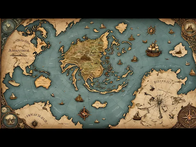
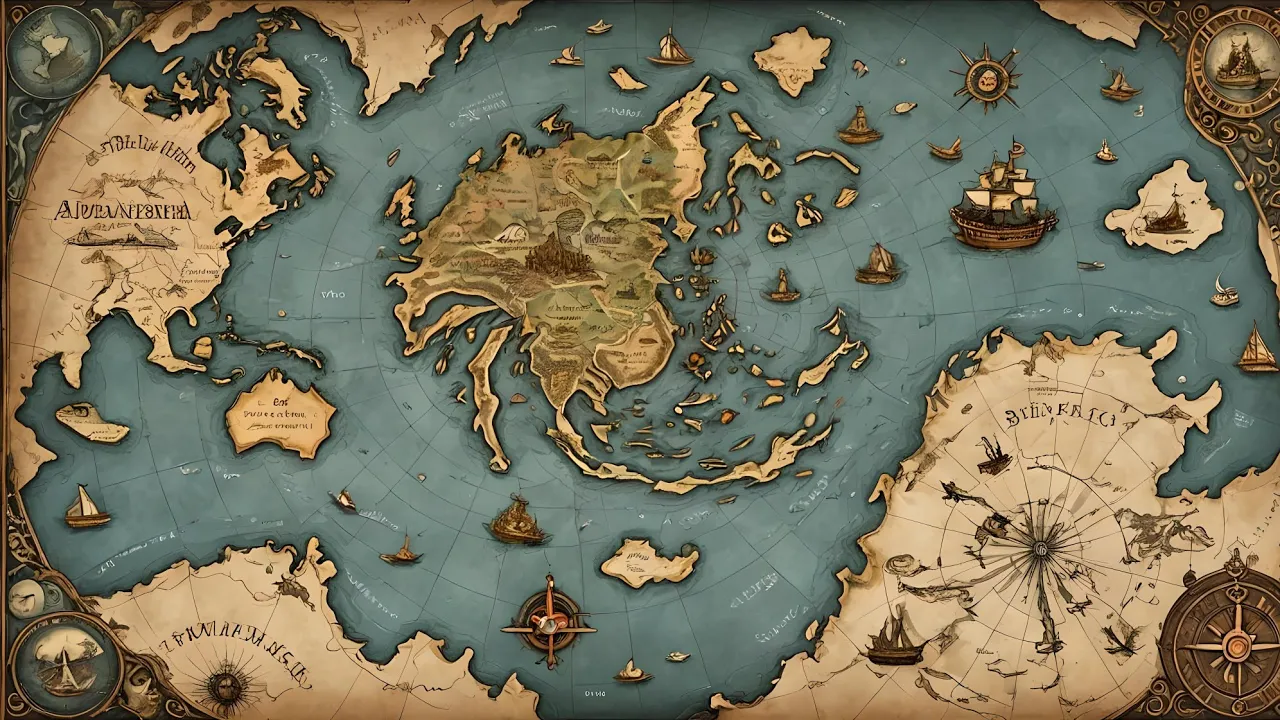
Imagine a world map that defies all logic and time. A map created centuries before the discovery of Antarctica, yet somehow depicting its ice-free coast. This isn't the plot of a science fiction novel.
It's the enigma of the piri race map, a 500-year-old cardographic masterpiece that has baffled historians, scientists, and conspiracy theorists alike. Welcome to Zanefax channel where today we unravel the mysteries of the puri race map and explore the tanalyzing possibility that ancient civilizations knew more about our planet than we ever imagined. Segment one, the origins of the piri race map.
Piri race, a highly respected figure in the Ottoman naval community, compiled his map using around 20 different sources, including maps from Portuguese, Spanish, and even Christopher Columbus himself. What makes the pir race map even more intriguing is that it was drawn using the Merkar projection, a technique that European cgraphers wouldn't develop until decades later in 1569. This begs the question, how did Perry race have access to such advanced cardographic methods?
To understand this, we need to delve into the world of ancient cgraphy. Maps have always been more than just tools for navigation. They are windows into the knowledge and imagination of their creators.
Piri Race was no exception. His passion for maps was matched only by his meticulous attention to detail. He sourced information from ancient Greek maps, Arabic charts, and even sketches attributed to Christopher Columbus.
Each of these sources contributed to the intricate tapestry of his world map. Interesting fact one, the Piri race map is drawn on gazelle skin parchment, making it not just a scientific artifact, but also a piece of artistic craftsmanship. Interesting fact two, Perry Race claimed his map was as accurate as the seven seas, indicating a high level of confidence in the sources he used to compile it.
Segment two, the controversial Antarctica. The most debated feature of the pi race map is its depiction of a land mass at the southern edge which many believe to be Antarctica. According to Captain Lorenzo W.
Burroughs of the US Air Force, the map accurately represents the Princess Martha coast of Queen Maland Antarctica as it would appear without its ice cap. This astonishing accuracy has led to wild theories about the map's origins, including suggestions of ancient lost civilizations or even extraterrestrial influences. Imagine for a moment that you are an ancient mariner navigating uncharted waters.
The idea of a massive land mass covered in ice would be beyond comprehension. Yet here we have a map from 1513 that seems to depict just that. How could this be possible?
Some researchers proposed that ancient mariners mapped Antarctica long before it was covered in ice, possibly before the last ice age. If true, this would revolutionize our understanding of ancient navigation and cgraphy. Interesting fact three.
The depiction of Antarctica on the Piri race map aligns closely with modern seismic maps of the region, suggesting an uncanny level of precision. Segment three, the theories and debates. Several theories attempt to explain how the Piri race map could depict Antarctica so accurately.
One theory suggests that ancient mariners mapped the continent long before it was covered in ice, possibly before the last ice age. Hap good even proposed that the earth's crust shifted around 9,500 B. CE, moving Antarctica to its current position.
However, this theory has been widely debunked by scientists as such a dramatic crustal displacement would have left significant geological evidence. Another theory posits that the map is simply a misinterpretation of South America's coastline, exaggerated to connect with Antarctica. Skeptics argue that the land mass depicted could be a distorted representation of South America's southern coast rather than an ice-free Antarctica.
This theory suggests that Piri Race, while an exceptional cgrapher, may have relied on inaccurate or incomplete sources. Interesting fact five. The Piri Race map includes detailed annotations in Ottoman Turkish describing the various sources Piri Race used, including ancient maps possibly dating back to the Library of Alexandria.
Interesting fact six. Some researchers believe that the map's depiction of Antarctica without ice could only have been achieved through knowledge passed down from a now lost civilization. Segment four, the modern implications.
The Piri race map challenges our understanding of history and the capabilities of ancient civilizations. If the map does indeed show Antarctica as it was thousands of years ago, it suggests that ancient peoples possessed advanced geographic and cardographic knowledge far beyond what we currently acknowledge. This opens the door to fascinating but controversial ideas about human history and the potential for lost knowledge.
One of the most compelling aspects of the pirace map is its ability to provoke questions about human history. Could there have been advanced civilizations with knowledge and technologies that rival or even surpass our own? And if so, what happened to them?
These questions fuel both academic inquiry and the imaginations of conspiracy theorists and paranormal enthusiasts alike. Interesting fact seven. The map was rediscovered in 1929 in Istanbul's Topcapy Palace, bringing it back into the spotlight and sparking renewed interest in its mysteries.
Interesting fact eight. Despite its inaccuracies, the map's depiction of the Americas is remarkably detailed for its time, suggesting access to extensive and accurate source materials. Segment five, the hypotheses of lost civilizations.
One of the more tantalizing hypotheses is that the piri race map is evidence of a lost civilization with advanced knowledge. Some theorists suggest that this civilization may have been based in Antarctica itself, flourishing during a time when the continent was free of ice. This idea is bolstered by the map's detailed coastline, which some argue could only have been created with sophisticated surveying techniques, possibly even aerial mapping.
Others speculate that the map's accuracy is a result of ancient global exploration. If ancient mariners had indeed traveled the world, mapping its coastlines with precision, it would indicate a level of maritime capability far beyond what we typically attribute to early civilizations. This raises questions about the dissemination of knowledge and the possibility of ancient international trade routes.
Interesting fact nine. Some researchers believe the map's accuracy suggests the use of advanced astronomical instruments capable of precise measurements of latitude and longitude. Interesting fact 10.
Theories about lost civilizations often reference Plato's account of Atlantis, a highly advanced society that supposedly vanished beneath the waves. Segment six, the extraterrestrial theory. For those who enjoy venturing into the realm of the extraordinary, there's the extraterrestrial theory.
Some proponents of this idea believe that the piri race maps advanced cgraphy could be the result of alien intervention. They argue that ancient peoples might have received knowledge from extraterrestrial visitors who possessed advanced mapping technology. While this theory is highly speculative and lacks concrete evidence, it continues to capture the imagination of many.
Interesting fact 11. and Eric Von Danakin, a well-known proponent of ancient astronaut theories, cited the Piri race map as potential evidence of extraterrestrial contact. Interesting fact 12.
The map's uncanny accuracy combined with the mystery of its sources has made it a favorite subject in discussions about ancient aliens and other worldly [Music] influences. Segment seven, the scientific skepticism. While the theories surrounding the Piri race map are fascinating, it's important to address the scientific skepticism.
Many historians and cgraphers argue that the map's supposed depiction of Antarctica is actually a misinterpretation of South American coastlines. They point out that the map, while impressive, contains numerous inaccuracies and distortions that are typical of the time. For instance, some regions are exaggerated while others are missing entirely.
This suggests that piri race might have combined various sources without fully understanding their origins or accuracy. Modern scholars often emphasize the importance of viewing the map in the context of its time, recognizing it as a remarkable but flawed artifact of early cgraphy. Interesting fact 13.
Critics argue that the map's accuracy is overstated and that many of its features can be explained by common cardioraphic errors of the era, such as misaligned coastlines and exaggerated land masses. Interesting fact 14. Modern analysis using advanced technology suggests that some of the perceived accuracies in the periase map may be coincidental rather than evidence of advanced ancient knowledge.
Segment 8, the cultural impact and legacy. The Piri race map has left a lasting impact on both academic circles and popular culture. Its mysterious origins and controversial depictions have inspired countless books, documentaries, and debates.
The map is often cited in discussions about ancient mysteries and the possibility of lost knowledge, fueling the imagination of those who love to ponder the unknown. In popular culture, the piri race map has been featured in various TV shows, movies, and even video games. It serves as a symbol of the enduring allure of ancient mysteries and the quest for understanding our past.
This cultural fascination ensures that the map remains a topic of interest in speculation for future generations. Interesting fact 15. The Piri Rice map is displayed at the Topcapy Palace Museum in Istanbul where it continues to draw visitors from around the world eager to glimpse this enigmatic artifact.
Interesting fact 16. The map has been referenced in popular media, including the video game Assassin's Creed, where it plays a role in the game's narrative about ancient secrets and hidden knowledge. The Piri race map remains a captivating enigma, blending historical fact with tantalizing mystery.
Whether it's a testament to lost ancient knowledge or a product of extraordinary coincidence, it continues to intrigue and inspire. If you enjoyed this deep dive into the mysteries of the Pirra map, make sure to like, subscribe, and hit the bell icon on the Zane Facts channel. Stay tuned for more fascinating explorations into the unknown corners of history and science.
Let's keep the conversation going in the comments. Do you believe the Purra map shows Antarctica or is it just a misinterpretation? Share your thoughts and theories below.